Distance to Harris Township, Ohio

Calculating Your Route
Just a moment while we process your request...
Location Information
-
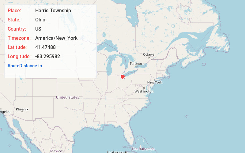
Full AddressHarris Township, OH
-
Coordinates41.47488, -83.295982
-
LocationHarris Township , Ohio , US
-
TimezoneAmerica/New_York
-
Current Local Time4:31:07 PM America/New_YorkThursday, June 26, 2025
-
Page Views0
About Harris Township
Harris Township is one of the twelve townships of Ottawa County, Ohio, United States. The 2020 census found 2,910 people in the township.
Nearby Places
Found 10 places within 50 miles

Elmore
0.0 mi
0.0 km
Elmore, OH 43416
Get directions

Woodville
4.0 mi
6.4 km
Woodville, OH 43469
Get directions

Genoa
4.4 mi
7.1 km
Genoa, OH 43430
Get directions

Graytown
5.0 mi
8.0 km
Graytown, OH 43432
Get directions
Elliston
5.1 mi
8.2 km
Elliston, OH 43432
Get directions

Lindsey
5.5 mi
8.9 km
Lindsey, OH 43442
Get directions
Hessville
5.7 mi
9.2 km
Hessville, OH 43442
Get directions
Rocky Ridge
5.9 mi
9.5 km
Rocky Ridge, OH
Get directions

Gibsonburg
6.4 mi
10.3 km
Gibsonburg, OH 43431
Get directions
Clay Center
7.0 mi
11.3 km
Clay Center, OH
Get directions
Location Links
Local Weather
Weather Information
Coming soon!
Location Map
Static map view of Harris Township, Ohio
Browse Places by Distance
Places within specific distances from Harris Township
Short Distances
Long Distances
Click any distance to see all places within that range from Harris Township. Distances shown in miles (1 mile ≈ 1.61 kilometers).