Distance to Hill, Oklahoma

Calculating Your Route
Just a moment while we process your request...
Location Information
-
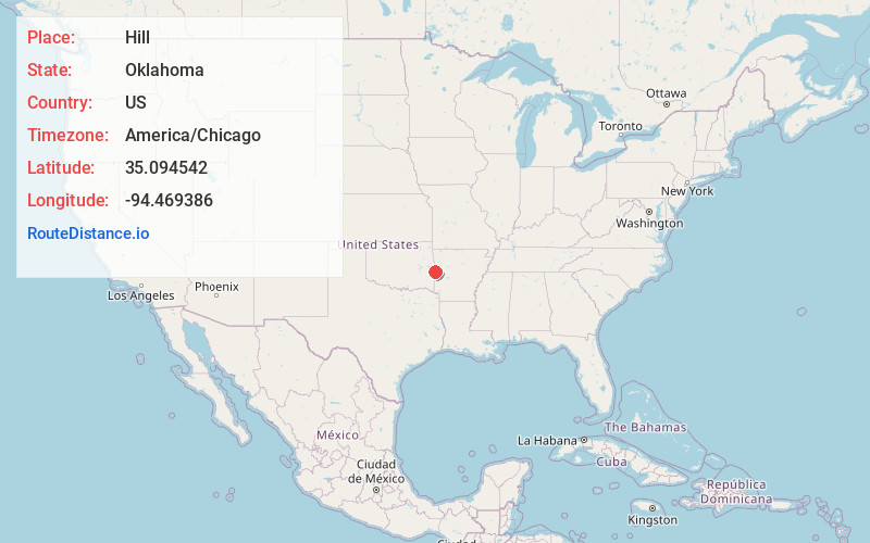
Full AddressHill, OK 74932
-
Coordinates35.0945419, -94.4693862
-
LocationOklahoma , US
-
TimezoneAmerica/Chicago
-
Current Local Time8:02:48 AM America/ChicagoMonday, June 23, 2025
-
Page Views0
Nearby Places
Found 10 places within 50 miles

Slaytonville
2.0 mi
3.2 km
Slaytonville, AR 72937
Get directions

Cameron
4.6 mi
7.4 km
Cameron, OK 74932
Get directions
Rock Island
6.1 mi
9.8 km
Rock Island, OK
Get directions
Midland
6.5 mi
10.5 km
Midland, AR
Get directions
Williams
6.6 mi
10.6 km
Williams, OK 74932
Get directions

Hartford
7.0 mi
11.3 km
Hartford, AR 72938
Get directions
Neff
7.1 mi
11.4 km
Neff, OK 74953
Get directions
Hackett
7.1 mi
11.4 km
Hackett, AR 72937
Get directions
Monroe
7.5 mi
12.1 km
Monroe, OK
Get directions
Tahona
8.9 mi
14.3 km
Tahona, OK 74932
Get directions
Location Links
Local Weather
Weather Information
Coming soon!
Location Map
Static map view of Hill, Oklahoma
Browse Places by Distance
Places within specific distances from Hill
Short Distances
Long Distances
Click any distance to see all places within that range from Hill. Distances shown in miles (1 mile ≈ 1.61 kilometers).