Distance to Tahona, Oklahoma

Calculating Your Route
Just a moment while we process your request...
Location Information
-
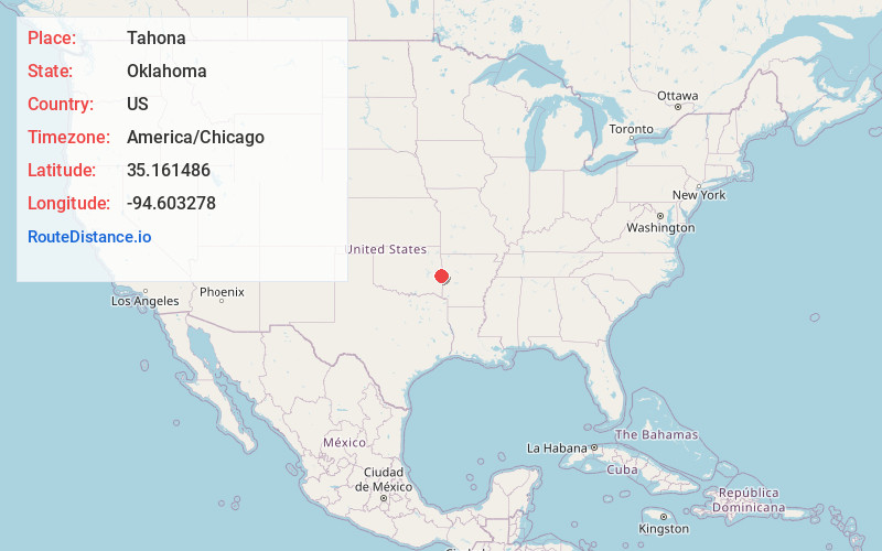
Full AddressTahona, OK 74932
-
Coordinates35.1614859, -94.6032781
-
LocationOklahoma , US
-
TimezoneAmerica/Chicago
-
Current Local Time4:20:29 AM America/ChicagoMonday, June 2, 2025
-
Page Views0
Nearby Places
Found 10 places within 50 miles

Shady Point
3.8 mi
6.1 km
Shady Point, OK 74956
Get directions

Panama
3.9 mi
6.3 km
Panama, OK
Get directions

Cameron
4.3 mi
6.9 km
Cameron, OK 74932
Get directions

Spiro
5.6 mi
9.0 km
Spiro, OK 74959
Get directions
Rock Island
7.5 mi
12.1 km
Rock Island, OK
Get directions

Poteau
7.5 mi
12.1 km
Poteau, OK
Get directions

Pocola
8.6 mi
13.8 km
Pocola, OK
Get directions
Fort Coffee
8.9 mi
14.3 km
Fort Coffee, OK 74959
Get directions
Redland
10.0 mi
16.1 km
Redland, OK 74948
Get directions

Bokoshe
10.5 mi
16.9 km
Bokoshe, OK 74930
Get directions
Location Links
Local Weather
Weather Information
Coming soon!
Location Map
Static map view of Tahona, Oklahoma
Browse Places by Distance
Places within specific distances from Tahona
Short Distances
Long Distances
Click any distance to see all places within that range from Tahona. Distances shown in miles (1 mile ≈ 1.61 kilometers).