Distance to Hillsdale, Wyoming

Calculating Your Route
Just a moment while we process your request...
Location Information
-
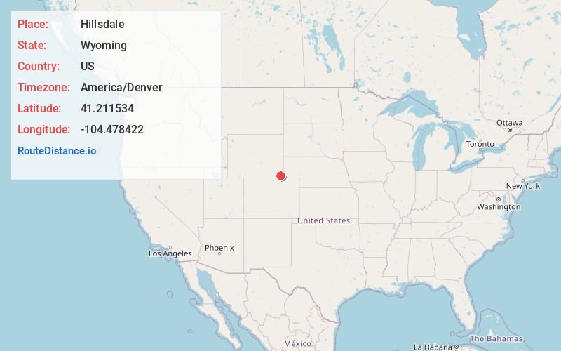
Full AddressHillsdale, WY 82060
-
Coordinates41.2115335, -104.4784222
-
LocationHillsdale , Wyoming , US
-
TimezoneAmerica/Denver
-
Current Local Time11:40:07 PM America/DenverMonday, June 2, 2025
-
Page Views0
About Hillsdale
Hillsdale is an unincorporated community and census-designated place in southeastern Laramie County, Wyoming, United States. As of the 2010 census, it had a population of 47. It lies along local roads east of the city of Cheyenne, the county seat of Laramie County. Its elevation is 5,640 feet above sea level.
Nearby Places
Found 10 places within 50 miles

Burns
6.3 mi
10.1 km
Burns, WY 82053
Get directions

Carpenter
12.9 mi
20.8 km
Carpenter, WY 82054
Get directions

Ranchettes
16.2 mi
26.1 km
Ranchettes, WY 82009
Get directions

Fox Farm-College
17.1 mi
27.5 km
Fox Farm-College, WY
Get directions

Cheyenne
18.6 mi
29.9 km
Cheyenne, WY
Get directions
South Greeley
18.8 mi
30.3 km
South Greeley, WY 82007
Get directions

Pine Bluffs
21.4 mi
34.4 km
Pine Bluffs, WY 82082
Get directions

Albin
24.3 mi
39.1 km
Albin, WY 82050
Get directions

Grover
27.0 mi
43.5 km
Grover, CO 80729
Get directions

Bushnell
30.5 mi
49.1 km
Bushnell, NE 69128
Get directions
Location Links
Local Weather
Weather Information
Coming soon!
Location Map
Static map view of Hillsdale, Wyoming
Browse Places by Distance
Places within specific distances from Hillsdale
Short Distances
Long Distances
Click any distance to see all places within that range from Hillsdale. Distances shown in miles (1 mile ≈ 1.61 kilometers).