Distance to Hog Jaw, Arkansas

Calculating Your Route
Just a moment while we process your request...
Location Information
-
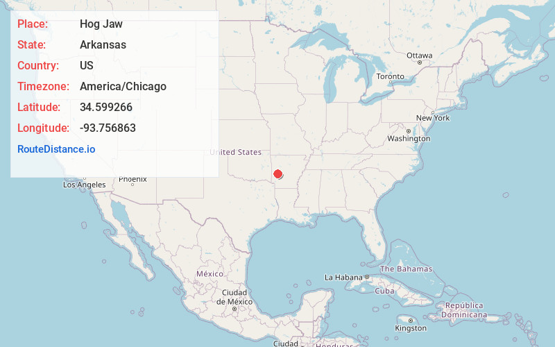
Full AddressHog Jaw, AR 71961
-
Coordinates34.5992662, -93.7568627
-
LocationArkansas , US
-
TimezoneAmerica/Chicago
-
Current Local Time6:55:41 PM America/ChicagoSaturday, June 7, 2025
-
Page Views0
About Hog Jaw
Hog Jaw is an unincorporated community in Montgomery County, Arkansas, United States. The community is approximately one mile south of the Ouachita River and 29 miles east of Mena in adjacent Polk County.
Nearby Places
Found 10 places within 50 miles

Oden
1.8 mi
2.9 km
Oden, AR 71961
Get directions

Whitetown
2.2 mi
3.5 km
Whitetown, AR 71961
Get directions
Pencil Bluff
2.5 mi
4.0 km
Pencil Bluff, AR
Get directions
Gaston
3.6 mi
5.8 km
Gaston, AR 71957
Get directions

Sims
5.6 mi
9.0 km
Sims, AR 71969
Get directions

Mt Ida
7.6 mi
12.2 km
Mt Ida, AR 71957
Get directions
Pine Ridge
8.8 mi
14.2 km
Pine Ridge, AR 71961
Get directions

Huddleston Creek
9.7 mi
15.6 km
Huddleston Creek, Arkansas 71960
Get directions
Black Springs
9.9 mi
15.9 km
Black Springs, AR 71960
Get directions

Norman
10.9 mi
17.5 km
Norman, AR 71960
Get directions
Location Links
Local Weather
Weather Information
Coming soon!
Location Map
Static map view of Hog Jaw, Arkansas
Browse Places by Distance
Places within specific distances from Hog Jaw
Short Distances
Long Distances
Click any distance to see all places within that range from Hog Jaw. Distances shown in miles (1 mile ≈ 1.61 kilometers).