Distance to Hooker, Arkansas

Calculating Your Route
Just a moment while we process your request...
Location Information
-
Full AddressHooker, AR 72436
-
Coordinates36.2233979, -90.531774
-
LocationArkansas , US
-
TimezoneAmerica/Chicago
-
Current Local Time7:23:39 PM America/ChicagoFriday, June 20, 2025
-
Page Views0
Nearby Places
Found 10 places within 50 miles

Lafe
1.7 mi
2.7 km
Lafe, AR
Get directions

Gainesville
4.2 mi
6.8 km
Gainesville, AR 72450
Get directions
Knob
6.1 mi
9.8 km
Knob, AR 72461
Get directions

Oak Grove Heights
7.4 mi
11.9 km
Oak Grove Heights, AR 72450
Get directions

Knobel
7.7 mi
12.4 km
Knobel, AR 72435
Get directions
Peach Orchard
8.3 mi
13.4 km
Peach Orchard, AR
Get directions
Noxburn
8.4 mi
13.5 km
Noxburn, AR 72450
Get directions

Marmaduke
8.6 mi
13.8 km
Marmaduke, AR 72443
Get directions
Halliday
8.9 mi
14.3 km
Halliday, AR 72443
Get directions
Evening Star
9.9 mi
15.9 km
Evening Star, AR 72412
Get directions
Location Links
Local Weather
Weather Information
Coming soon!
Location Map
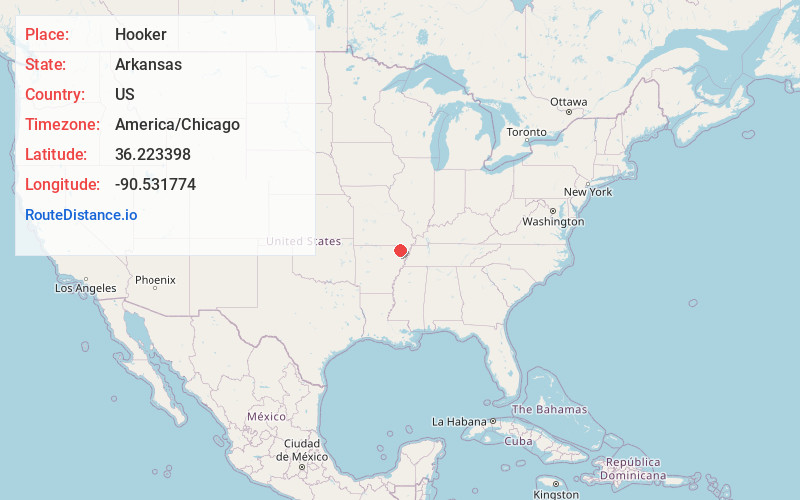
Static map view of Hooker, Arkansas
Browse Places by Distance
Places within specific distances from Hooker
Short Distances
Long Distances
Click any distance to see all places within that range from Hooker. Distances shown in miles (1 mile ≈ 1.61 kilometers).