Distance to Humbug Mountain State Park, Oregon

Calculating Your Route
Just a moment while we process your request...
Location Information
-
Full AddressHumbug Mountain State Park, Port Orford, OR 97465
-
Coordinates42.6901712, -124.4391758
-
LocationPort Orford , Oregon , US
-
TimezoneAmerica/Los_Angeles
-
Current Local Time1:28:56 PM America/Los_AngelesSunday, June 22, 2025
-
Page Views0
About Humbug Mountain State Park
Coastline park offering equipped sites to campers, including hikers, windsurfers & scuba divers.


Nearby Places
Found 10 places within 50 miles

Port Orford
4.8 mi
7.7 km
Port Orford, OR 97465
Get directions

Sixes
9.2 mi
14.8 km
Sixes, OR
Get directions

Ophir
9.2 mi
14.8 km
Ophir, OR 97465
Get directions

Nesika Beach
12.8 mi
20.6 km
Nesika Beach, OR 97444
Get directions
Denmark
13.9 mi
22.4 km
Denmark, OR 97450
Get directions

Langlois
16.1 mi
25.9 km
Langlois, OR 97450
Get directions
Lake of the Woods Mountain
17.2 mi
27.7 km
Lake of the Woods Mountain, Oregon 97406
Get directions
Wedderburn
18.0 mi
29.0 km
Wedderburn, OR 97444
Get directions

Gold Beach
19.6 mi
31.5 km
Gold Beach, OR 97444
Get directions

Illahe
19.9 mi
32.0 km
Illahe, OR 97406
Get directions
Location Links
Local Weather
Weather Information
Coming soon!
Location Map
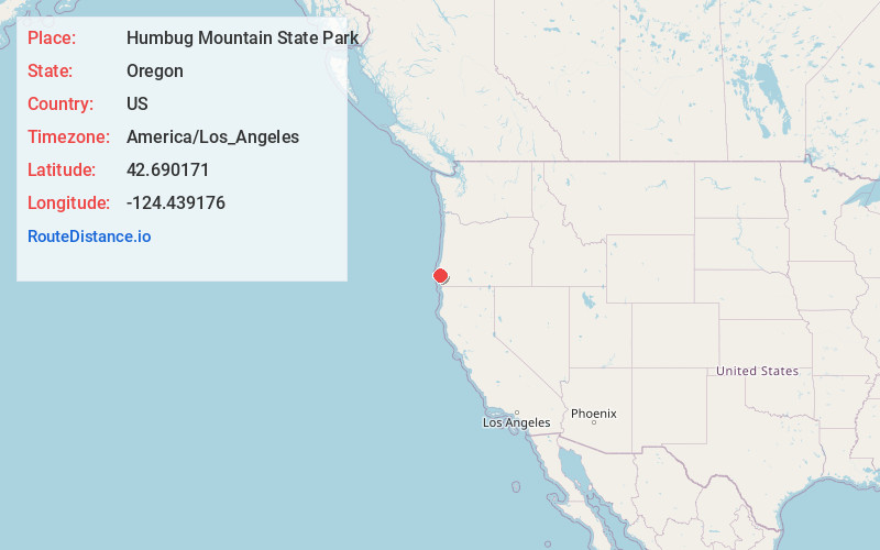
Static map view of Humbug Mountain State Park, Oregon
Browse Places by Distance
Places within specific distances from Humbug Mountain State Park
Short Distances
Long Distances
Click any distance to see all places within that range from Humbug Mountain State Park. Distances shown in miles (1 mile ≈ 1.61 kilometers).