Distance to Ironsides, Maryland

Calculating Your Route
Just a moment while we process your request...
Location Information
-
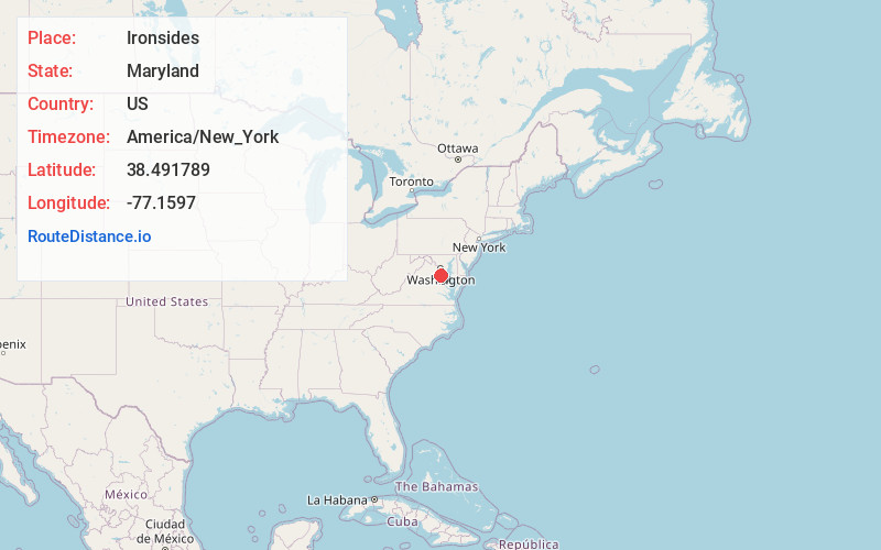
Full AddressIronsides, MD 20646
-
Coordinates38.4917885, -77.1597004
-
LocationIronsides , Maryland , US
-
TimezoneAmerica/New_York
-
Current Local Time10:39:11 PM America/New_YorkWednesday, June 18, 2025
-
Page Views0
About Ironsides
Ironsides is an unincorporated community or "post village" in Charles County, Maryland, United States with zip code 20643. The Post Office was established in 1897 and remained open until at least 1976. Today Ironsides area residents have Indian Head or Nanjemoy addresses.
Nearby Places
Found 10 places within 50 miles

Hill Top
2.1 mi
3.4 km
Hill Top, MD 20646
Get directions
Doncaster
2.8 mi
4.5 km
Doncaster, MD 20662
Get directions
Mt Pisgah
3.9 mi
6.3 km
Mt Pisgah, MD 20646
Get directions

Nanjemoy
3.9 mi
6.3 km
Nanjemoy, MD 20662
Get directions
Rison
4.1 mi
6.6 km
Rison, MD 20658
Get directions
Grayton
5.0 mi
8.0 km
Grayton, MD 20662
Get directions
Chicamuxen Creek
5.1 mi
8.2 km
Chicamuxen Creek, Maryland 20640
Get directions
Redhill
5.4 mi
8.7 km
Redhill, MD 20640
Get directions
McConchie
5.4 mi
8.7 km
McConchie, MD 20677
Get directions
Ripley
5.7 mi
9.2 km
Ripley, MD 20646
Get directions
Location Links
Local Weather
Weather Information
Coming soon!
Location Map
Static map view of Ironsides, Maryland
Browse Places by Distance
Places within specific distances from Ironsides
Short Distances
Long Distances
Click any distance to see all places within that range from Ironsides. Distances shown in miles (1 mile ≈ 1.61 kilometers).