Distance to Jarvis, Missouri

Calculating Your Route
Just a moment while we process your request...
Location Information
-
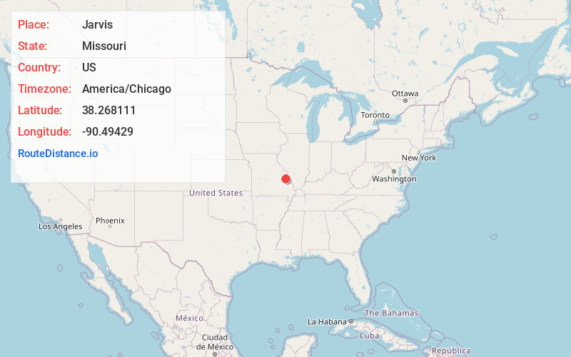
Full AddressJarvis, Joachim Township, MO 63050
-
Coordinates38.2681107, -90.4942902
-
LocationJoachim Township , Missouri , US
-
TimezoneAmerica/Chicago
-
Current Local Time11:48:01 PM America/ChicagoSaturday, June 14, 2025
-
Page Views0
Nearby Places
Found 10 places within 50 miles

Mapaville
1.4 mi
2.3 km
Mapaville, MO 63050
Get directions
Goldman
2.5 mi
4.0 km
Goldman, Central Township, MO 63050
Get directions
Horine
3.8 mi
6.1 km
Horine, MO 63070
Get directions
Silica
4.4 mi
7.1 km
Silica, Festus, MO 63028
Get directions

Hillsboro
4.5 mi
7.2 km
Hillsboro, MO 63050
Get directions
Belews Creek
4.5 mi
7.2 km
Belews Creek, Central Township, MO 63050
Get directions

Hematite
4.6 mi
7.4 km
Hematite, MO 63028
Get directions

Herculaneum
5.6 mi
9.0 km
Herculaneum, MO
Get directions

Pevely
5.7 mi
9.2 km
Pevely, MO
Get directions

Festus
6.2 mi
10.0 km
Festus, MO
Get directions
Location Links
Local Weather
Weather Information
Coming soon!
Location Map
Static map view of Jarvis, Missouri
Browse Places by Distance
Places within specific distances from Jarvis
Short Distances
Long Distances
Click any distance to see all places within that range from Jarvis. Distances shown in miles (1 mile ≈ 1.61 kilometers).