Distance to Jimtown, Oregon

Calculating Your Route
Just a moment while we process your request...
Location Information
-
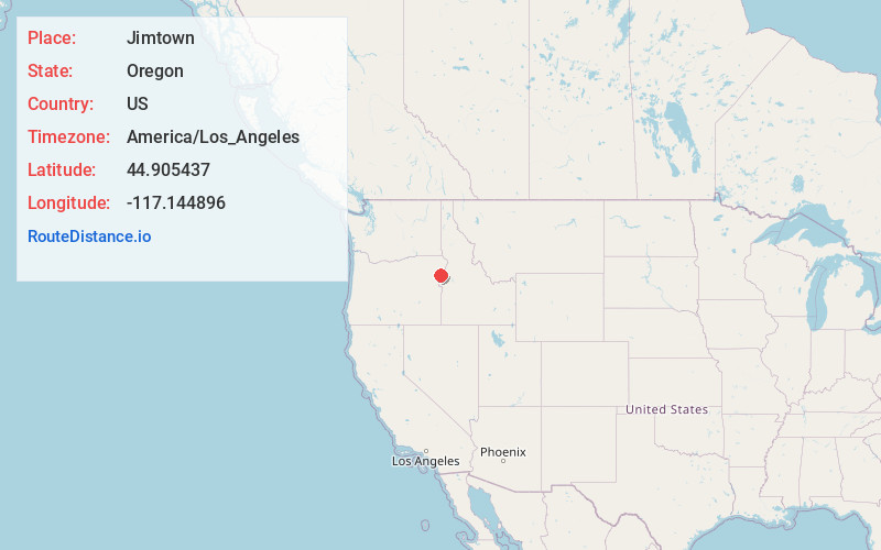
Full AddressJimtown, OR 97834
-
Coordinates44.9054372, -117.1448963
-
LocationJimtown , Oregon , US
-
TimezoneAmerica/Los_Angeles
-
Current Local Time1:06:37 PM America/Los_AngelesFriday, May 30, 2025
-
Page Views0
About Jimtown
Jimtown is an unincorporated community in Baker County, Oregon, United States. It is about two miles northwest of Halfway, on Oregon Route 413.
Jimtown was originally named Langrell, after early resident Richard T. Langrell, a sawmill owner who opened a store in the community in 1904.


Nearby Places
Found 10 places within 50 miles

Halfway
2.3 mi
3.7 km
Halfway, OR 97834
Get directions

Carson
2.6 mi
4.2 km
Carson, OR 97834
Get directions

Pine
4.1 mi
6.6 km
Pine, OR 97834
Get directions
Sunset
5.0 mi
8.0 km
Sunset, OR 97834
Get directions

Cornucopia
7.5 mi
12.1 km
Cornucopia, OR 97834
Get directions
New Bridge
7.6 mi
12.2 km
New Bridge, OR 97870
Get directions
Sparta
9.1 mi
14.6 km
Sparta, OR 97870
Get directions

Richland
9.5 mi
15.3 km
Richland, OR 97870
Get directions
Robinette
11.8 mi
19.0 km
Robinette, OR 97834
Get directions
Brownlee
12.2 mi
19.6 km
Brownlee, OR 97834
Get directions
Location Links
Local Weather
Weather Information
Coming soon!
Location Map
Static map view of Jimtown, Oregon
Browse Places by Distance
Places within specific distances from Jimtown
Short Distances
Long Distances
Click any distance to see all places within that range from Jimtown. Distances shown in miles (1 mile ≈ 1.61 kilometers).