Distance to Brownlee, Oregon

Calculating Your Route
Just a moment while we process your request...
Location Information
-
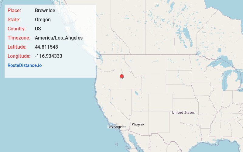
Full AddressBrownlee, OR 97834
-
Coordinates44.8115478, -116.9343328
-
LocationBrownlee , Oregon , US
-
TimezoneAmerica/Los_Angeles
-
Current Local Time4:32:37 AM America/Los_AngelesSaturday, June 7, 2025
-
Page Views0
About Brownlee
Brownlee is an unincorporated community in Baker County, Oregon, United States.
John Brownlee started a ferry service that crossed the Snake River between Idaho and Oregon and became known as Brownlee's Ferry.
Nearby Places
Found 10 places within 50 miles

Robinette
6.3 mi
10.1 km
Robinette, OR 97834
Get directions
Sunset
7.9 mi
12.7 km
Sunset, OR 97834
Get directions
Pine
8.3 mi
13.4 km
Pine, OR 97834
Get directions

Halfway
10.0 mi
16.1 km
Halfway, OR 97834
Get directions

Oxbow
11.8 mi
19.0 km
Oxbow, OR 97840
Get directions

Richland
11.9 mi
19.2 km
Richland, OR 97870
Get directions
New Bridge
12.6 mi
20.3 km
New Bridge, OR 97870
Get directions

Carson
14.6 mi
23.5 km
Carson, OR 97834
Get directions

Homestead
15.2 mi
24.5 km
Homestead, OR 97840
Get directions

Cornucopia
18.5 mi
29.8 km
Cornucopia, OR 97834
Get directions
Location Links
Local Weather
Weather Information
Coming soon!
Location Map
Static map view of Brownlee, Oregon
Browse Places by Distance
Places within specific distances from Brownlee
Short Distances
Long Distances
Click any distance to see all places within that range from Brownlee. Distances shown in miles (1 mile ≈ 1.61 kilometers).