Distance to Oxbow, Oregon

Calculating Your Route
Just a moment while we process your request...
Location Information
-
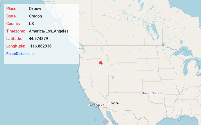
Full AddressOxbow, OR 97840
-
Coordinates44.9748785, -116.8629359
-
LocationOxbow , Oregon , US
-
TimezoneAmerica/Los_Angeles
-
Current Local Time12:39:02 AM America/Los_AngelesMonday, June 2, 2025
-
Page Views0
About Oxbow
Oxbow is an unincorporated community in Baker County, Oregon, United States. Oxbow is along Oregon Route 86 next to the Snake River near the Oxbow Dam on the Oregon-Idaho border, about 17 miles northeast of Halfway. Oxbow is just south of the site of the former mining town of Copperfield.


Nearby Places
Found 10 places within 50 miles

Homestead
3.4 mi
5.5 km
Homestead, OR 97840
Get directions

Sunset
10.4 mi
16.7 km
Sunset, OR 97834
Get directions
Pine
13.6 mi
21.9 km
Pine, OR 97834
Get directions

Halfway
13.9 mi
22.4 km
Halfway, OR 97834
Get directions
Landore
15.4 mi
24.8 km
Landore, ID 83612
Get directions

Carson
15.5 mi
24.9 km
Carson, OR 97834
Get directions

Cornucopia
16.2 mi
26.1 km
Cornucopia, OR 97834
Get directions
Robinette
17.4 mi
28.0 km
Robinette, OR 97834
Get directions
New Bridge
20.0 mi
32.2 km
New Bridge, OR 97870
Get directions

Richland
20.6 mi
33.2 km
Richland, OR 97870
Get directions
Location Links
Local Weather
Weather Information
Coming soon!
Location Map
Static map view of Oxbow, Oregon
Browse Places by Distance
Places within specific distances from Oxbow
Short Distances
Long Distances
Click any distance to see all places within that range from Oxbow. Distances shown in miles (1 mile ≈ 1.61 kilometers).