Distance to and from Keating, Oregon
Keating, OR 97814
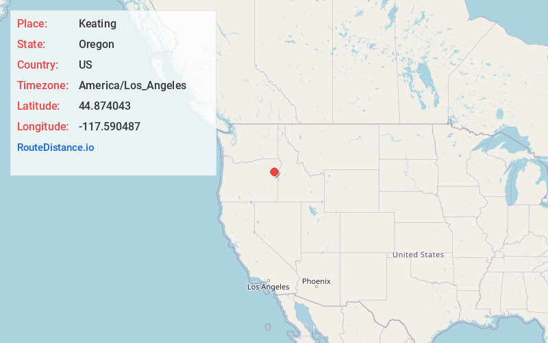
Keating
Oregon
US
America/Los_Angeles
Location Information
-
Full AddressKeating, OR 97814
-
Coordinates44.8740432, -117.5904873
-
LocationKeating , Oregon , US
-
TimezoneAmerica/Los_Angeles
-
Current Local Time1:05:11 PM America/Los_AngelesMonday, May 5, 2025
-
Page Views1
Directions to Nearest Cities
About Keating
Keating is an unincorporated community in Baker County, in the U.S. state of Oregon. Keating lies off Keating Road north of its interchange with Oregon Route 86. Keating is northeast of Baker City.


Nearby Places
Found 10 places within 50 miles

Sparta
13.0 mi
20.9 km
Sparta, OR 97870
Get directions

Baker City
13.8 mi
22.2 km
Baker City, OR 97814
Get directions

Pleasant Valley
13.9 mi
22.4 km
Pleasant Valley, OR 97814
Get directions

Haines
17.2 mi
27.7 km
Haines, OR 97833
Get directions

Telocaset
18.3 mi
29.5 km
Telocaset, OR
Get directions

North Powder
19.3 mi
31.1 km
North Powder, OR 97867
Get directions
Hutchinson
20.1 mi
32.3 km
Hutchinson, OR 97833
Get directions

Carson
20.8 mi
33.5 km
Carson, OR 97834
Get directions

Cornucopia
21.6 mi
34.8 km
Cornucopia, OR 97834
Get directions

Richland
21.9 mi
35.2 km
Richland, OR 97870
Get directions
Sparta
13.0 mi
20.9 km
Sparta, OR 97870
Baker City
13.8 mi
22.2 km
Baker City, OR 97814
Pleasant Valley
13.9 mi
22.4 km
Pleasant Valley, OR 97814
Haines
17.2 mi
27.7 km
Haines, OR 97833
Telocaset
18.3 mi
29.5 km
Telocaset, OR
North Powder
19.3 mi
31.1 km
North Powder, OR 97867
Hutchinson
20.1 mi
32.3 km
Hutchinson, OR 97833
Carson
20.8 mi
33.5 km
Carson, OR 97834
Cornucopia
21.6 mi
34.8 km
Cornucopia, OR 97834
Richland
21.9 mi
35.2 km
Richland, OR 97870
Location Links
Local Weather
Weather Information
Coming soon!
Location Map
Static map view of Keating, Oregon
Browse Places by Distance
Places within specific distances from Keating
Short Distances
Long Distances
Click any distance to see all places within that range from Keating. Distances shown in miles (1 mile ≈ 1.61 kilometers).