Distance to Keith County, Nebraska

Calculating Your Route
Just a moment while we process your request...
Location Information
-
Full AddressKeith County, NE
-
Coordinates41.1815863, -101.5248055
-
LocationNebraska , US
-
TimezoneAmerica/Denver
-
Current Local Time6:43:26 PM America/DenverFriday, June 6, 2025
-
Page Views0
About Keith County
Keith County is a county in the U.S. state of Nebraska. As of the 2020 United States census, the population was 8,335. Its county seat is Ogallala.
In the Nebraska license plate system, Keith County is represented by the prefix 68.


Nearby Places
Found 10 places within 50 miles

Broganville
1.8 mi
2.9 km
Broganville, Whitetail Precinct, NE 69144
Get directions
Keystone
3.9 mi
6.3 km
Keystone, NE 69144
Get directions
Roscoe
4.7 mi
7.6 km
Roscoe, NE 69153
Get directions

Paxton
9.6 mi
15.4 km
Paxton, NE 69155
Get directions
Ogallala
10.8 mi
17.4 km
Ogallala, NE 69153
Get directions
Sarben
11.4 mi
18.3 km
Sarben, NE 69155
Get directions
Lemoyne
16.3 mi
26.2 km
Lemoyne, NE 69146
Get directions

Brule
19.9 mi
32.0 km
Brule, NE 69127
Get directions

Sutherland
20.8 mi
33.5 km
Sutherland, NE 69165
Get directions
Coker
21.2 mi
34.1 km
Coker, Sutherland Precinct, NE 69165
Get directions
Location Links
Local Weather
Weather Information
Coming soon!
Location Map
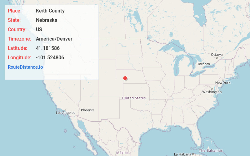
Static map view of Keith County, Nebraska
Browse Places by Distance
Places within specific distances from Keith County
Short Distances
Long Distances
Click any distance to see all places within that range from Keith County. Distances shown in miles (1 mile ≈ 1.61 kilometers).