Distance to Lasita, Kansas

Calculating Your Route
Just a moment while we process your request...
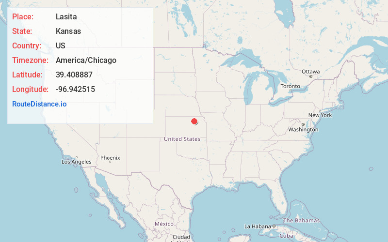
Location Information
-
Full AddressLasita, Fancy Creek Township, KS 67447
-
Coordinates39.4088866, -96.9425145
-
LocationFancy Creek Township , Kansas , US
-
TimezoneAmerica/Chicago
-
Current Local Time10:48:21 PM America/ChicagoThursday, June 19, 2025
-
Page Views0
About Lasita
Lasita is an unincorporated community in Riley County, Kansas, United States.
Nearby Places
Found 10 places within 50 miles

Green
3.4 mi
5.5 km
Green, KS 67447
Get directions
Leonardville
5.4 mi
8.7 km
Leonardville, KS 66449
Get directions

Bala
6.9 mi
11.1 km
Bala, KS 66531
Get directions
Walsburg
7.1 mi
11.4 km
Walsburg, Sherman Township, KS 66449
Get directions
Winkler
7.8 mi
12.6 km
Winkler, KS 66554
Get directions

Riley
9.7 mi
15.6 km
Riley, KS 66531
Get directions

Randolph
9.9 mi
15.9 km
Randolph, KS 66554
Get directions

Clay Center
10.0 mi
16.1 km
Clay Center, KS 67432
Get directions
Garfield Center
12.7 mi
20.4 km
Garfield Center, Garfield Township, KS 67432
Get directions
Kimeo
13.2 mi
21.2 km
Kimeo, KS 66943
Get directions
Location Links
Local Weather
Weather Information
Coming soon!
Location Map
Static map view of Lasita, Kansas
Browse Places by Distance
Places within specific distances from Lasita
Short Distances
Long Distances
Click any distance to see all places within that range from Lasita. Distances shown in miles (1 mile ≈ 1.61 kilometers).