Distance to Leopold, Missouri

Calculating Your Route
Just a moment while we process your request...
Location Information
-
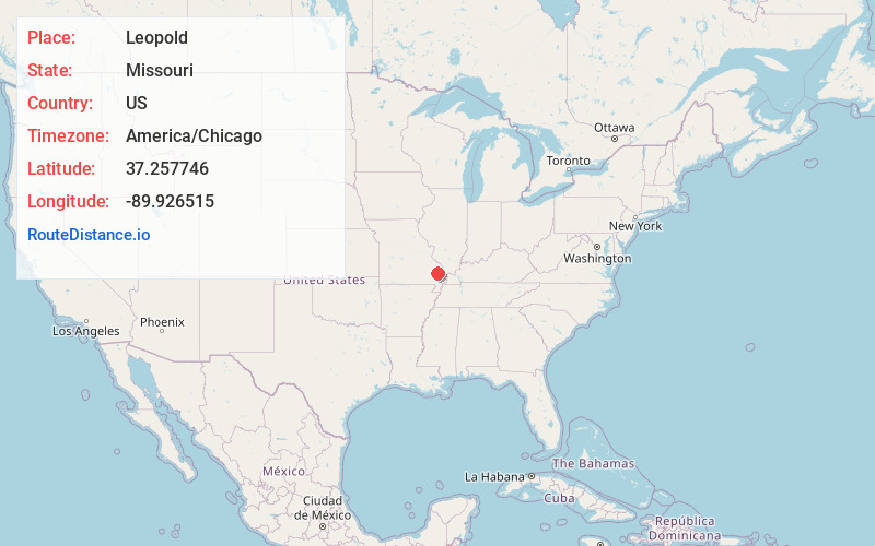
Full AddressLeopold, MO
-
Coordinates37.2577464, -89.9265147
-
LocationLeopold , Missouri , US
-
TimezoneAmerica/Chicago
-
Current Local Time2:06:06 PM America/ChicagoTuesday, June 24, 2025
-
Page Views1
About Leopold
Leopold is an unincorporated community in eastern Bollinger County in Southeast Missouri, United States. It is located on Missouri Route N, approximately four miles southeast of Marble Hill. The community consists of roughly 65 residents and has one of the smallest public school districts in the state of Missouri.


Nearby Places
Found 10 places within 50 miles

Marble Hill
4.1 mi
6.6 km
Marble Hill, MO 63764
Get directions

Glennon
4.8 mi
7.7 km
Glennon, Liberty Township, MO 63730
Get directions
Drum
5.1 mi
8.2 km
Drum, Liberty Township, MO 63785
Get directions
Schlatitz
6.9 mi
11.1 km
Schlatitz, Liberty Township, MO 63730
Get directions
Glenallen
6.9 mi
11.1 km
Glenallen, MO 63751
Get directions
Whitewater
7.3 mi
11.7 km
Whitewater, MO 63785
Get directions
Sank
7.6 mi
12.2 km
Sank, Liberty Township, MO 63730
Get directions
Gravel Hill
8.4 mi
13.5 km
Gravel Hill, Kinder Township, MO 63764
Get directions
Green Cox
9.4 mi
15.1 km
Green Cox, Welch Township, MO 63730
Get directions
Allenville
9.6 mi
15.4 km
Allenville, MO
Get directions
Location Links
Local Weather
Weather Information
Coming soon!
Location Map
Static map view of Leopold, Missouri
Browse Places by Distance
Places within specific distances from Leopold
Short Distances
Long Distances
Click any distance to see all places within that range from Leopold. Distances shown in miles (1 mile ≈ 1.61 kilometers).