Distance to Lerty, Virginia

Calculating Your Route
Just a moment while we process your request...
Location Information
-
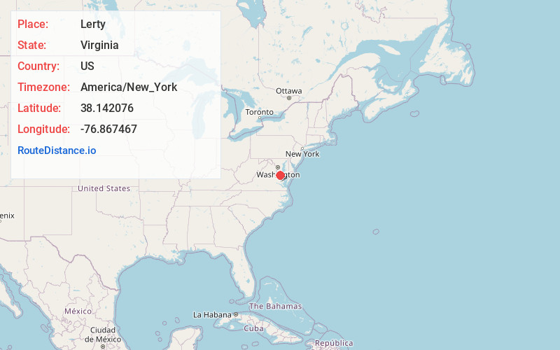
Full AddressLerty, VA 22520
-
Coordinates38.1420757, -76.8674671
-
LocationVirginia , US
-
TimezoneAmerica/New_York
-
Current Local Time9:29:05 PM America/New_YorkFriday, June 13, 2025
-
Page Views0
About Lerty
Lerty is an unincorporated community in Westmoreland County, in the U. S. state of Virginia.
Stratford Hall Plantation, a National Historic Landmark and birthplace of Confederate general Robert E. Lee, is located near the community.
Nearby Places
Found 10 places within 50 miles

Flat Iron
2.9 mi
4.7 km
Flat Iron, VA 22520
Get directions

Montross
3.9 mi
6.3 km
Montross, VA 22520
Get directions
Westmoreland County
5.2 mi
8.4 km
Westmoreland County, VA
Get directions
Currioman Landing
5.8 mi
9.3 km
Currioman Landing, VA 22520
Get directions
Laurel Grove
6.5 mi
10.5 km
Laurel Grove, VA 22443
Get directions
Templeman
7.0 mi
11.3 km
Templeman, VA 22520
Get directions
Oak Grove
7.5 mi
12.1 km
Oak Grove, VA 22443
Get directions
Layton
7.7 mi
12.4 km
Layton, VA 22438
Get directions

Cobb Island
8.1 mi
13.0 km
Cobb Island, MD
Get directions
Farmers Fork
8.2 mi
13.2 km
Farmers Fork, VA 22572
Get directions
Location Links
Local Weather
Weather Information
Coming soon!
Location Map
Static map view of Lerty, Virginia
Browse Places by Distance
Places within specific distances from Lerty
Short Distances
Long Distances
Click any distance to see all places within that range from Lerty. Distances shown in miles (1 mile ≈ 1.61 kilometers).