Distance to Lobatos, Colorado

Calculating Your Route
Just a moment while we process your request...
Location Information
-
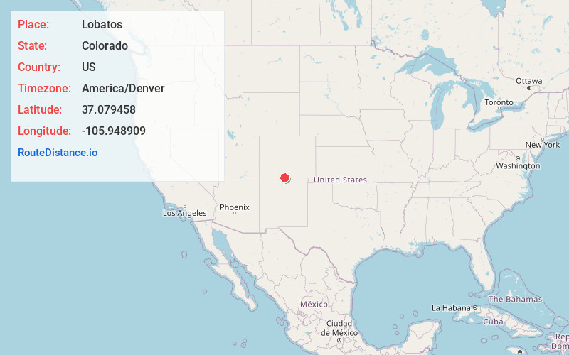
Full AddressLobatos, CO 81120
-
Coordinates37.0794576, -105.9489092
-
LocationLobatos , Colorado , US
-
TimezoneAmerica/Denver
-
Current Local Time3:01:51 PM America/DenverFriday, June 20, 2025
-
Page Views0
About Lobatos
Lobatos is an unincorporated community in Conejos County, in the U.S. state of Colorado.
Nearby Places
Found 10 places within 50 miles

Antonito
3.3 mi
5.3 km
Antonito, CO 81120
Get directions

Conejos
4.0 mi
6.4 km
Conejos, CO 81120
Get directions

Manassa
6.6 mi
10.6 km
Manassa, CO
Get directions

Romeo
6.7 mi
10.8 km
Romeo, CO
Get directions
Bountiful
10.5 mi
16.9 km
Bountiful, CO 81140
Get directions
Sanford
12.6 mi
20.3 km
Sanford, CO 81151
Get directions

La Jara
13.5 mi
21.7 km
La Jara, CO 81140
Get directions

Capulin
16.7 mi
26.9 km
Capulin, CO
Get directions
Centro
17.9 mi
28.8 km
Centro, CO 81140
Get directions
Estrella
19.9 mi
32.0 km
Estrella, CO 81101
Get directions
Location Links
Local Weather
Weather Information
Coming soon!
Location Map
Static map view of Lobatos, Colorado
Browse Places by Distance
Places within specific distances from Lobatos
Short Distances
Long Distances
Click any distance to see all places within that range from Lobatos. Distances shown in miles (1 mile ≈ 1.61 kilometers).