Distance to Lyons Place, Nebraska

Calculating Your Route
Just a moment while we process your request...
Location Information
-
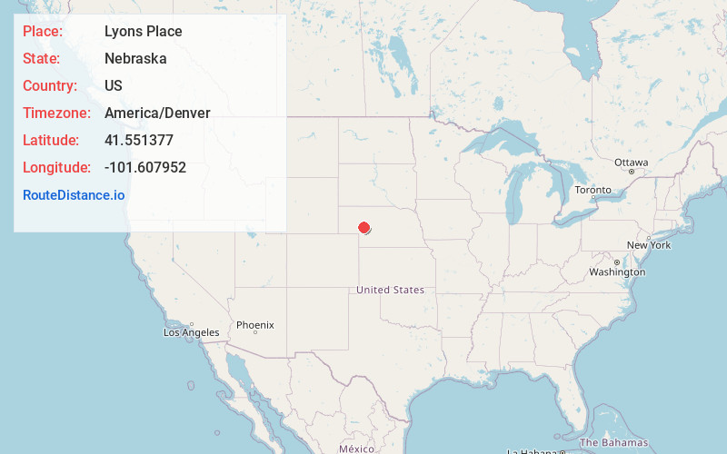
Full AddressLyons Place, NE 69121
-
Coordinates41.5513771, -101.6079521
-
LocationLyons Place , Nebraska , US
-
TimezoneAmerica/Denver
-
Current Local Time4:05:43 AM America/DenverSunday, June 29, 2025
-
Page Views0
Nearby Places
Found 10 places within 50 miles

Arthur
4.5 mi
7.2 km
Arthur, NE 69121
Get directions
Calora
10.3 mi
16.6 km
Calora, NE 69165
Get directions
McKeag
10.6 mi
17.1 km
McKeag, NE 69146
Get directions
Lena
11.8 mi
19.0 km
Lena, NE 69366
Get directions
Flats
13.3 mi
21.4 km
Flats, Whitewater Precinct, NE 69165
Get directions
Velma
18.1 mi
29.1 km
Velma, NE 69121
Get directions
Lemoyne
22.0 mi
35.4 km
Lemoyne, NE 69146
Get directions
Keystone
23.2 mi
37.3 km
Keystone, NE 69144
Get directions
Belmar
23.6 mi
38.0 km
Belmar, NE 69147
Get directions
Broganville
24.2 mi
38.9 km
Broganville, Whitetail Precinct, NE 69144
Get directions
Location Links
Local Weather
Weather Information
Coming soon!
Location Map
Static map view of Lyons Place, Nebraska
Browse Places by Distance
Places within specific distances from Lyons Place
Short Distances
Long Distances
Click any distance to see all places within that range from Lyons Place. Distances shown in miles (1 mile ≈ 1.61 kilometers).