Distance to Malinta, Ohio

Calculating Your Route
Just a moment while we process your request...
Location Information
-
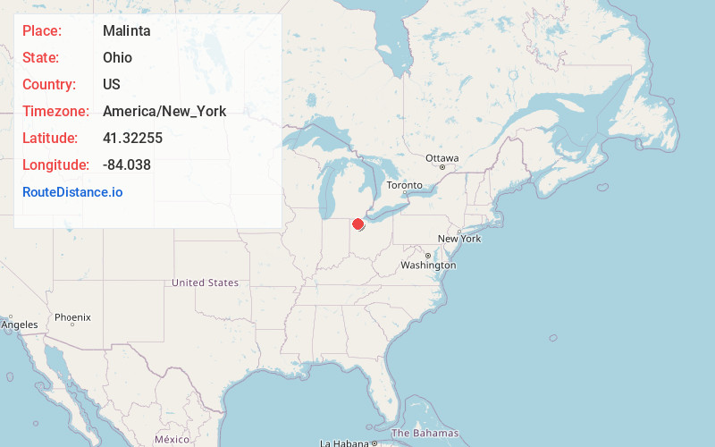
Full AddressMalinta, OH 43535
-
Coordinates41.3225503, -84.0380002
-
LocationMalinta , Ohio , US
-
TimezoneAmerica/New_York
-
Current Local Time7:37:18 PM America/New_YorkWednesday, May 21, 2025
-
Page Views0
About Malinta
Malinta is a village in Henry County, Ohio, United States. The population was 226 at the 2020 census.

Nearby Places
Found 10 places within 50 miles

McClure
6.0 mi
9.7 km
McClure, OH 43534
Get directions

Hamler
6.5 mi
10.5 km
Hamler, OH 43524
Get directions

Napoleon
6.6 mi
10.6 km
Napoleon, OH 43545
Get directions

Holgate
7.1 mi
11.4 km
Holgate, OH 43527
Get directions

Liberty Center
8.5 mi
13.7 km
Liberty Center, OH 43532
Get directions

Deshler
10.7 mi
17.2 km
Deshler, OH 43516
Get directions

Grand Rapids
10.9 mi
17.5 km
Grand Rapids, OH 43522
Get directions

Weston
12.6 mi
20.3 km
Weston, OH 43569
Get directions
Ridgeville Corners
13.9 mi
22.4 km
Ridgeville Corners, OH
Get directions

Neapolis
14.5 mi
23.3 km
Neapolis, OH
Get directions
Location Links
Local Weather
Weather Information
Coming soon!
Location Map
Static map view of Malinta, Ohio
Browse Places by Distance
Places within specific distances from Malinta
Short Distances
Long Distances
Click any distance to see all places within that range from Malinta. Distances shown in miles (1 mile ≈ 1.61 kilometers).