Distance to Melmore, Ohio

Calculating Your Route
Just a moment while we process your request...
Location Information
-
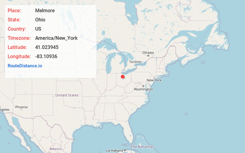
Full AddressMelmore, OH
-
Coordinates41.0239447, -83.1093604
-
LocationMelmore , Ohio , US
-
TimezoneAmerica/New_York
-
Current Local Time9:15:34 PM America/New_YorkSunday, June 22, 2025
-
Page Views0
About Melmore
Melmore is a census-designated place in central Eden Township, Seneca County, Ohio, United States. It has a post office with the ZIP code 44845. It is located at the intersection of State Routes 67 and 100. The population was 173 at the 2020 census.
Nearby Places
Found 10 places within 50 miles

Bloomville
5.3 mi
8.5 km
Bloomville, OH 44818
Get directions
Sycamore
6.0 mi
9.7 km
Sycamore, OH 44882
Get directions

Tiffin
7.2 mi
11.6 km
Tiffin, OH 44883
Get directions

McCutchenville
8.2 mi
13.2 km
McCutchenville, OH 44844
Get directions

Republic
8.3 mi
13.4 km
Republic, OH 44867
Get directions
Chatfield
10.0 mi
16.1 km
Chatfield, OH
Get directions

New Riegel
11.1 mi
17.9 km
New Riegel, OH 44853
Get directions
Bascom
11.7 mi
18.8 km
Bascom, OH
Get directions

Attica
11.9 mi
19.2 km
Attica, OH 44807
Get directions
Oceola
12.4 mi
20.0 km
Oceola, OH
Get directions
Location Links
Local Weather
Weather Information
Coming soon!
Location Map
Static map view of Melmore, Ohio
Browse Places by Distance
Places within specific distances from Melmore
Short Distances
Long Distances
Click any distance to see all places within that range from Melmore. Distances shown in miles (1 mile ≈ 1.61 kilometers).