Distance to Mist, Oregon

Calculating Your Route
Just a moment while we process your request...
Location Information
-
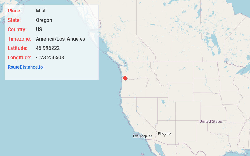
Full AddressMist, OR 97064
-
Coordinates45.9962223, -123.2565078
-
LocationMist , Oregon , US
-
TimezoneAmerica/Los_Angeles
-
Current Local Time6:56:04 PM America/Los_AngelesWednesday, June 4, 2025
-
Page Views0
About Mist
Mist is an unincorporated community in Columbia County, Oregon, United States. Formerly called Riverside, the place was renamed in 1888 for the atmospheric conditions of the Nehalem Valley. The first land claims in the area had been made circa 1870. The original Riverside post office was closed in 1975.


Nearby Places
Found 10 places within 50 miles

Birkenfeld
3.9 mi
6.3 km
Birkenfeld, OR 97016
Get directions

Clatskanie Heights
4.8 mi
7.7 km
Clatskanie Heights, OR 97016
Get directions

Clatskanie
7.9 mi
12.7 km
Clatskanie, OR 97016
Get directions
Pittsburg
8.3 mi
13.4 km
Pittsburg, OR 97064
Get directions

Woodson
8.8 mi
14.2 km
Woodson, OR 97016
Get directions

Kerry
9.7 mi
15.6 km
Kerry, OR 97016
Get directions

Vernonia
9.9 mi
15.9 km
Vernonia, OR 97064
Get directions
Keasey
9.9 mi
15.9 km
Keasey, OR 97064
Get directions
Inglis
10.0 mi
16.1 km
Inglis, OR 97016
Get directions
Apiary
11.0 mi
17.7 km
Apiary, OR 97048
Get directions
Location Links
Local Weather
Weather Information
Coming soon!
Location Map
Static map view of Mist, Oregon
Browse Places by Distance
Places within specific distances from Mist
Short Distances
Long Distances
Click any distance to see all places within that range from Mist. Distances shown in miles (1 mile ≈ 1.61 kilometers).