Distance to Moffett, Oklahoma

Calculating Your Route
Just a moment while we process your request...
Location Information
-
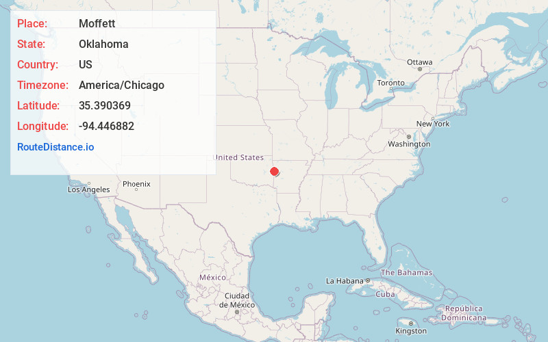
Full AddressMoffett, OK
-
Coordinates35.390369, -94.4468822
-
LocationMoffett , Oklahoma , US
-
TimezoneAmerica/Chicago
-
Current Local Time6:30:33 AM America/ChicagoMonday, June 2, 2025
-
Page Views0
About Moffett
Moffett is a town in Sequoyah County, Oklahoma, United States. It is part of the Fort Smith, Arkansas-Oklahoma Metropolitan Statistical Area. The population was 128 at the 2010 census, a decline of 28.5 percent from the figure of 179 recorded in 2000.
Nearby Places
Found 10 places within 50 miles

Fort Smith
1.5 mi
2.4 km
Fort Smith, AR
Get directions

Arkoma
2.6 mi
4.2 km
Arkoma, OK 74901
Get directions

Roland
4.4 mi
7.1 km
Roland, OK
Get directions

Dora
4.4 mi
7.1 km
Dora, AR 72956
Get directions

Remy
4.8 mi
7.7 km
Remy, OK
Get directions

Van Buren
6.9 mi
11.1 km
Van Buren, AR 72956
Get directions

Muldrow
8.6 mi
13.8 km
Muldrow, OK 74948
Get directions
Long
8.9 mi
14.3 km
Long, OK 74948
Get directions

Barling
9.4 mi
15.1 km
Barling, AR
Get directions
Fort Coffee
10.4 mi
16.7 km
Fort Coffee, OK 74959
Get directions
Location Links
Local Weather
Weather Information
Coming soon!
Location Map
Static map view of Moffett, Oklahoma
Browse Places by Distance
Places within specific distances from Moffett
Short Distances
Long Distances
Click any distance to see all places within that range from Moffett. Distances shown in miles (1 mile ≈ 1.61 kilometers).