Distance to Mossy Bottom, Kentucky

Calculating Your Route
Just a moment while we process your request...
Location Information
-
Full AddressMossy Bottom, Coal Run Village, KY 41501
-
Coordinates37.5300995, -82.57932
-
LocationCoal Run Village , Kentucky , US
-
TimezoneAmerica/New_York
-
Current Local Time6:40:23 PM America/New_YorkFriday, June 20, 2025
-
Page Views0
About Mossy Bottom
Mossy Bottom is part of Coal Run Village in Pike County, Kentucky, United States.
Nearby Places
Found 10 places within 50 miles

Broad Bottom
0.8 mi
1.3 km
Broad Bottom, KY 41501
Get directions
Stanley Addition
1.2 mi
1.9 km
Stanley Addition, Coal Run Village, KY 41501
Get directions
Coal Run Village
1.6 mi
2.6 km
Coal Run Village, KY 41501
Get directions

Betsy Layne
3.3 mi
5.3 km
Betsy Layne, KY
Get directions
Amba
3.5 mi
5.6 km
Amba, KY 41635
Get directions
Osborn
4.1 mi
6.6 km
Osborn, KY 41635
Get directions
Stanville
4.3 mi
6.9 km
Stanville, KY 41659
Get directions
Grethel
4.6 mi
7.4 km
Grethel, KY 41631
Get directions
Tram
4.7 mi
7.6 km
Tram, KY 41663
Get directions

Pikeville
4.8 mi
7.7 km
Pikeville, KY 41501
Get directions
Location Links
Local Weather
Weather Information
Coming soon!
Location Map
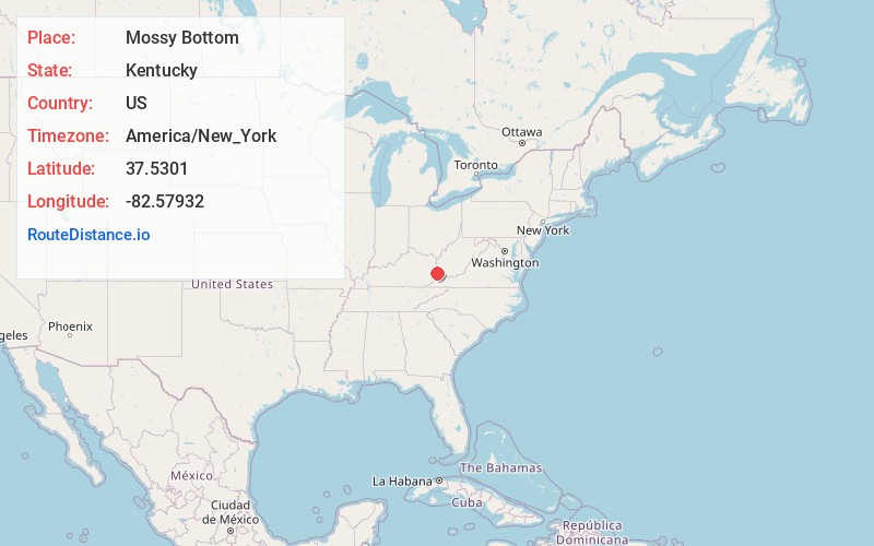
Static map view of Mossy Bottom, Kentucky
Browse Places by Distance
Places within specific distances from Mossy Bottom
Short Distances
Long Distances
Click any distance to see all places within that range from Mossy Bottom. Distances shown in miles (1 mile ≈ 1.61 kilometers).