Distance to Naschitti, New Mexico

Calculating Your Route
Just a moment while we process your request...
Location Information
-
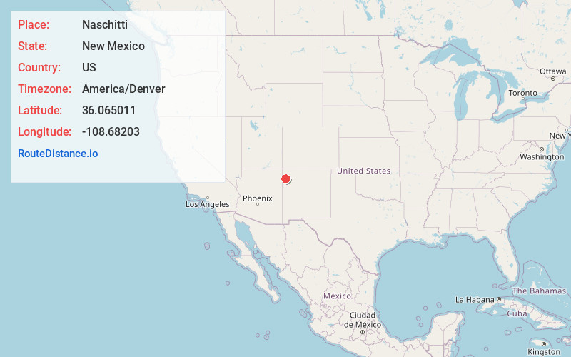
Full AddressNaschitti, NM
-
Coordinates36.0650107, -108.6820295
-
LocationNaschitti , New Mexico , US
-
TimezoneAmerica/Denver
-
Current Local Time11:28:55 AM America/DenverTuesday, June 24, 2025
-
Website
-
Page Views0
About Naschitti
Naschitti is a census-designated place in San Juan County, New Mexico, United States. The population was 360 at the 2000 census. It is part of the Farmington Metropolitan Statistical Area. The town was established in 1886, when Tom Bryan set up a trading post east of the Chuska Mountains.
Nearby Places
Found 10 places within 50 miles

Sheep Springs
6.1 mi
9.8 km
Sheep Springs, NM 87364
Get directions

Tohatchi
14.9 mi
24.0 km
Tohatchi, NM 87325
Get directions
Newcomb
15.2 mi
24.5 km
Newcomb, NM 87455
Get directions
Brimhall Nizhoni
20.6 mi
33.2 km
Brimhall Nizhoni, NM
Get directions
Twin Lakes
25.1 mi
40.4 km
Twin Lakes, NM
Get directions

Wheatfields
27.6 mi
44.4 km
Wheatfields, AZ 86507
Get directions

Sawmill
29.3 mi
47.2 km
Sawmill, AZ 86504
Get directions

Yah-Ta-Hey
30.7 mi
49.4 km
Yah-Ta-Hey, NM
Get directions

Fort Defiance
31.3 mi
50.4 km
Fort Defiance, AZ 86504
Get directions
Rock Springs
32.5 mi
52.3 km
Rock Springs, NM
Get directions
Location Links
Local Weather
Weather Information
Coming soon!
Location Map
Static map view of Naschitti, New Mexico
Browse Places by Distance
Places within specific distances from Naschitti
Short Distances
Long Distances
Click any distance to see all places within that range from Naschitti. Distances shown in miles (1 mile ≈ 1.61 kilometers).