Distance to Sheep Springs, New Mexico

Calculating Your Route
Just a moment while we process your request...
Location Information
-
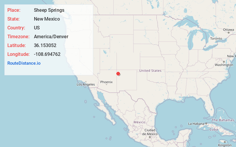
Full AddressSheep Springs, NM 87364
-
Coordinates36.1530518, -108.6947617
-
LocationSheep Springs , New Mexico , US
-
TimezoneAmerica/Denver
-
Current Local Time9:05:12 PM America/DenverTuesday, June 24, 2025
-
Page Views0
About Sheep Springs
Sheep Springs is a census-designated place in San Juan County, New Mexico, United States. The population was 237 at the 2000 census. It is part of the Farmington Metropolitan Statistical Area.
Nearby Places
Found 10 places within 50 miles

Newcomb
9.1 mi
14.6 km
Newcomb, NM 87455
Get directions

Tohatchi
20.7 mi
33.3 km
Tohatchi, NM 87325
Get directions

Wheatfields
24.9 mi
40.1 km
Wheatfields, AZ 86507
Get directions
Brimhall Nizhoni
26.7 mi
43.0 km
Brimhall Nizhoni, NM
Get directions
Twin Lakes
31.0 mi
49.9 km
Twin Lakes, NM
Get directions

Tsaile
31.2 mi
50.2 km
Tsaile, AZ
Get directions

Sawmill
31.5 mi
50.7 km
Sawmill, AZ 86504
Get directions

Lukachukai
34.9 mi
56.2 km
Lukachukai, AZ 86507
Get directions

Fort Defiance
35.4 mi
57.0 km
Fort Defiance, AZ 86504
Get directions

Yah-Ta-Hey
36.6 mi
58.9 km
Yah-Ta-Hey, NM
Get directions
Location Links
Local Weather
Weather Information
Coming soon!
Location Map
Static map view of Sheep Springs, New Mexico
Browse Places by Distance
Places within specific distances from Sheep Springs
Short Distances
Long Distances
Click any distance to see all places within that range from Sheep Springs. Distances shown in miles (1 mile ≈ 1.61 kilometers).