Distance to New Hampden, Virginia

Calculating Your Route
Just a moment while we process your request...
Location Information
-
Full AddressNew Hampden, VA 24465
-
Coordinates38.4928967, -79.5633816
-
LocationVirginia , US
-
TimezoneAmerica/New_York
-
Current Local Time11:27:37 PM America/New_YorkTuesday, June 3, 2025
-
Page Views0
About New Hampden
New Hampden is an unincorporated community in Highland County, Virginia, United States. New Hampden is located in the Blue Grass Valley on VA State Route 640 approximately 5.7 miles north of Monterey, Virginia.
Nearby Places
Found 10 places within 50 miles

Hightown
5.6 mi
9.0 km
Hightown, VA 24465
Get directions

Monterey
5.6 mi
9.0 km
Monterey, VA 24465
Get directions

Sirons Mill
8.2 mi
13.2 km
Sirons Mill, VA 24433
Get directions
Vanderpool
9.2 mi
14.8 km
Vanderpool, VA 24465
Get directions
Sugar Camp Run
9.6 mi
15.4 km
Sugar Camp Run, West Virginia 24915
Get directions
Thornwood
10.5 mi
16.9 km
Thornwood, WV 24920
Get directions

Moyers
11.0 mi
17.7 km
Moyers, WV 26802
Get directions
Palo Alto
11.5 mi
18.5 km
Palo Alto, VA 24485
Get directions

McDowell
11.6 mi
18.7 km
McDowell, VA 24458
Get directions
Mitchell Mountain
11.8 mi
19.0 km
Mitchell Mountain, West Virginia 26802
Get directions
Location Links
Local Weather
Weather Information
Coming soon!
Location Map
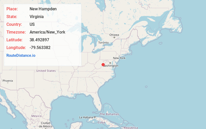
Static map view of New Hampden, Virginia
Browse Places by Distance
Places within specific distances from New Hampden
Short Distances
Long Distances
Click any distance to see all places within that range from New Hampden. Distances shown in miles (1 mile ≈ 1.61 kilometers).