Distance to Old Camp, Nevada

Calculating Your Route
Just a moment while we process your request...
Location Information
-
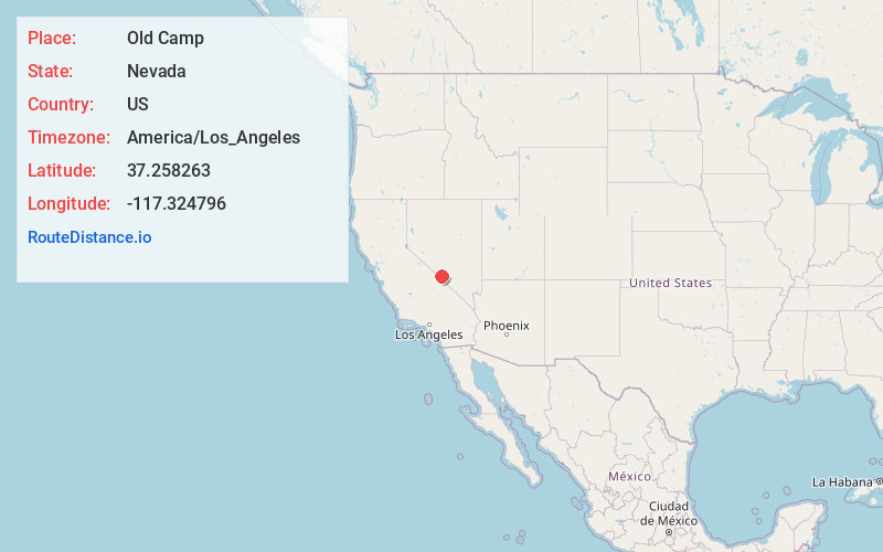
Full AddressOld Camp, NV 89013
-
Coordinates37.2582627, -117.3247962
-
LocationOld Camp , Nevada , US
-
TimezoneAmerica/Los_Angeles
-
Current Local Time9:02:41 AM America/Los_AngelesThursday, May 22, 2025
-
Page Views0
Nearby Places
Found 10 places within 50 miles

Tokop
4.6 mi
7.4 km
Tokop, NV 89013
Get directions

Gold Point
7.0 mi
11.3 km
Gold Point, NV 89013
Get directions

Bonnie Claire
11.5 mi
18.5 km
Bonnie Claire, NV
Get directions

Lida
16.8 mi
27.0 km
Lida, NV 89013
Get directions

Crater
20.1 mi
32.3 km
Crater, CA
Get directions
Ralston
22.6 mi
36.4 km
Ralston, NV
Get directions
Montezuma
30.9 mi
49.7 km
Montezuma, NV
Get directions

Goldfield
31.5 mi
50.7 km
Goldfield, NV 89013
Get directions
Florence Hill
31.6 mi
50.9 km
Florence Hill, NV 89013
Get directions
West Spring
32.2 mi
51.8 km
West Spring, NV 89013
Get directions
Location Links
Local Weather
Weather Information
Coming soon!
Location Map
Static map view of Old Camp, Nevada
Browse Places by Distance
Places within specific distances from Old Camp
Short Distances
Long Distances
Click any distance to see all places within that range from Old Camp. Distances shown in miles (1 mile ≈ 1.61 kilometers).