Distance to Crater, California

Calculating Your Route
Just a moment while we process your request...
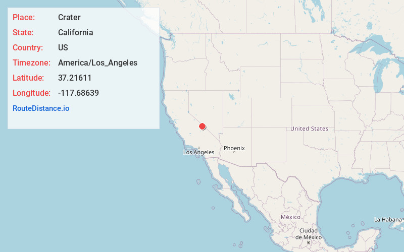
Location Information
-
Full AddressCrater, CA
-
Coordinates37.21611, -117.68639
-
LocationCrater , California , US
-
TimezoneAmerica/Los_Angeles
-
Current Local Time8:05:25 PM America/Los_AngelesTuesday, June 24, 2025
-
Page Views0
About Crater
Crater is a ghost town in Inyo County, California. It is located in the Last Chance Range 19 miles northwest of Ubehebe Crater, at an elevation of 5305 feet.
Human activity at the site was primarily concerned with production of sulfur, which was discovered in 1917.


Nearby Places
Found 10 places within 50 miles

Deep Springs
19.6 mi
31.5 km
Deep Springs, CA 93513
Get directions

Lida
19.7 mi
31.7 km
Lida, NV 89013
Get directions

Gold Point
20.1 mi
32.3 km
Gold Point, NV 89013
Get directions

Tokop
24.1 mi
38.8 km
Tokop, NV 89013
Get directions
Monola
31.0 mi
49.9 km
Monola, CA 93513
Get directions

Bonnie Claire
31.2 mi
50.2 km
Bonnie Claire, NV
Get directions
Fish Springs
32.7 mi
52.6 km
Fish Springs, CA 93513
Get directions

Big Pine
33.4 mi
53.8 km
Big Pine, CA
Get directions

Silver Peak
37.3 mi
60.0 km
Silver Peak, NV 89047
Get directions

Dyer
37.5 mi
60.4 km
Dyer, NV 89010
Get directions
Location Links
Local Weather
Weather Information
Coming soon!
Location Map
Static map view of Crater, California
Browse Places by Distance
Places within specific distances from Crater
Short Distances
Long Distances
Click any distance to see all places within that range from Crater. Distances shown in miles (1 mile ≈ 1.61 kilometers).