Distance to Osier, Colorado

Calculating Your Route
Just a moment while we process your request...
Location Information
-
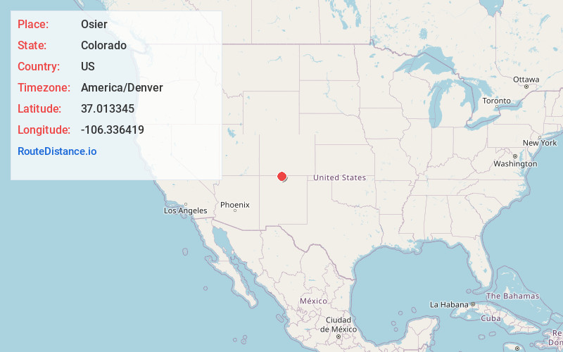
Full AddressOsier, CO 81120
-
Coordinates37.0133445, -106.3364191
-
LocationColorado , US
-
TimezoneAmerica/Denver
-
Current Local Time9:41:19 AM America/DenverThursday, May 29, 2025
-
Page Views0
About Osier
Osier is a ghost town in Conejos County, Colorado, U.S. Although the U.S. Geographic Names Information System classifies it as a populated place, it is really a ghost town, as no one lives there any longer.


Nearby Places
Found 10 places within 50 miles

Conejos
18.2 mi
29.3 km
Conejos, CO 81120
Get directions

Antonito
18.6 mi
29.9 km
Antonito, CO 81120
Get directions

Crowther Cow Camp
20.1 mi
32.3 km
Crowther Cow Camp, NM 87575
Get directions
Centro
21.4 mi
34.4 km
Centro, CO 81140
Get directions
Romeo
22.2 mi
35.7 km
Romeo, CO
Get directions

Capulin
22.4 mi
36.0 km
Capulin, CO
Get directions

Ensenada
22.6 mi
36.4 km
Ensenada, NM 87551
Get directions

Los Ojos
23.5 mi
37.8 km
Los Ojos, NM 87551
Get directions

Manassa
24.6 mi
39.6 km
Manassa, CO
Get directions
Bountiful
24.7 mi
39.8 km
Bountiful, CO 81140
Get directions
Location Links
Local Weather
Weather Information
Coming soon!
Location Map
Static map view of Osier, Colorado
Browse Places by Distance
Places within specific distances from Osier
Short Distances
Long Distances
Click any distance to see all places within that range from Osier. Distances shown in miles (1 mile ≈ 1.61 kilometers).