Distance to Palmer, Iowa

Calculating Your Route
Just a moment while we process your request...
Location Information
-
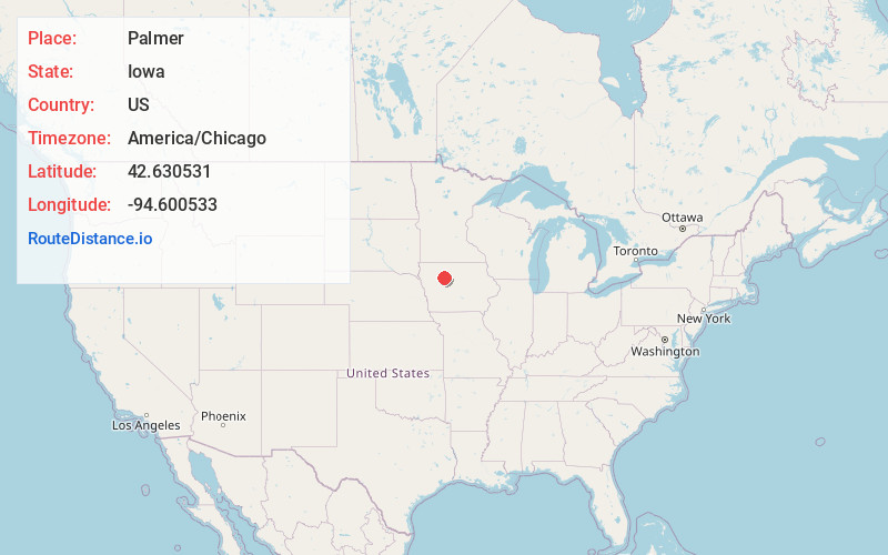
Full AddressPalmer, IA
-
Coordinates42.6305314, -94.6005333
-
LocationPalmer , Iowa , US
-
TimezoneAmerica/Chicago
-
Current Local Time5:04:45 PM America/ChicagoSunday, June 22, 2025
-
Page Views0
About Palmer
Palmer is a city in Pocahontas County, Iowa, United States. The population was 138 at the time of the 2020 census.
Nearby Places
Found 10 places within 50 miles

Pomeroy
6.9 mi
11.1 km
Pomeroy, IA 50575
Get directions

Manson
7.8 mi
12.6 km
Manson, IA 50563
Get directions

Pocahontas
8.0 mi
12.9 km
Pocahontas, IA 50574
Get directions

Gilmore City
10.5 mi
16.9 km
Gilmore City, IA 50541
Get directions

Twin Lakes
10.9 mi
17.5 km
Twin Lakes, IA
Get directions
Fonda
12.9 mi
20.8 km
Fonda, IA 50540
Get directions
Rolfe
13.1 mi
21.1 km
Rolfe, IA 50581
Get directions
Clare
13.3 mi
21.4 km
Clare, IA 50524
Get directions

Barnum
14.6 mi
23.5 km
Barnum, IA 50518
Get directions
Havelock
15.1 mi
24.3 km
Havelock, IA 50546
Get directions
Location Links
Local Weather
Weather Information
Coming soon!
Location Map
Static map view of Palmer, Iowa
Browse Places by Distance
Places within specific distances from Palmer
Short Distances
Long Distances
Click any distance to see all places within that range from Palmer. Distances shown in miles (1 mile ≈ 1.61 kilometers).