Distance to Pendergrass, Georgia

Calculating Your Route
Just a moment while we process your request...
Location Information
-
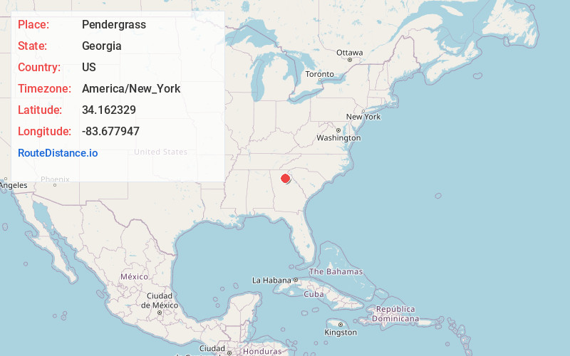
Full AddressPendergrass, GA
-
Coordinates34.1623292, -83.6779473
-
LocationPendergrass , Georgia , US
-
TimezoneAmerica/New_York
-
Current Local Time11:20:22 PM America/New_YorkThursday, June 19, 2025
-
Page Views0
About Pendergrass
Pendergrass is a city in Jackson County, Georgia, United States. The population was 1692 at the time of the 2020 census.


Nearby Places
Found 10 places within 50 miles

Braselton
6.1 mi
9.8 km
Braselton, GA
Get directions

Hoschton
6.6 mi
10.6 km
Hoschton, GA 30548
Get directions

Jefferson
6.8 mi
10.9 km
Jefferson, GA
Get directions

Arcade
8.9 mi
14.3 km
Arcade, GA
Get directions

Winder
12.0 mi
19.3 km
Winder, GA
Get directions

Gainesville
12.5 mi
20.1 km
Gainesville, GA
Get directions

Oakwood
12.6 mi
20.3 km
Oakwood, GA
Get directions

Commerce
12.9 mi
20.8 km
Commerce, GA
Get directions

Auburn
13.4 mi
21.6 km
Auburn, GA 30011
Get directions

Flowery Branch
14.2 mi
22.9 km
Flowery Branch, GA
Get directions
Location Links
Local Weather
Weather Information
Coming soon!
Location Map
Static map view of Pendergrass, Georgia
Browse Places by Distance
Places within specific distances from Pendergrass
Short Distances
Long Distances
Click any distance to see all places within that range from Pendergrass. Distances shown in miles (1 mile ≈ 1.61 kilometers).