Distance to Pilot Grove, Iowa

Calculating Your Route
Just a moment while we process your request...
Location Information
-
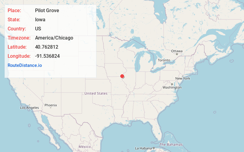
Full AddressPilot Grove, IA 52656
-
Coordinates40.7628123, -91.5368236
-
LocationPilot Grove , Iowa , US
-
TimezoneAmerica/Chicago
-
Current Local Time6:39:49 PM America/ChicagoTuesday, June 3, 2025
-
Page Views0
About Pilot Grove
Pilot Grove is an unincorporated community in northern Lee County, Iowa, United States. It lies along local roads northwest of the city of Fort Madison, the county seat of Lee County. Its elevation is 643 feet.
Nearby Places
Found 10 places within 50 miles

St Paul
1.2 mi
1.9 km
St Paul, IA
Get directions
Houghton
3.7 mi
6.0 km
Houghton, IA 52625
Get directions

West Point
5.5 mi
8.9 km
West Point, IA 52656
Get directions
Franklin
6.7 mi
10.8 km
Franklin, IA
Get directions

Salem
7.6 mi
12.2 km
Salem, IA 52649
Get directions

Donnellson
8.4 mi
13.5 km
Donnellson, IA 52625
Get directions

Denmark
10.5 mi
16.9 km
Denmark, IA
Get directions
Sawyer
10.6 mi
17.1 km
Sawyer, IA 52627
Get directions
Hillsboro
10.7 mi
17.2 km
Hillsboro, IA 52630
Get directions
Charleston
11.9 mi
19.2 km
Charleston, IA 52625
Get directions
Location Links
Local Weather
Weather Information
Coming soon!
Location Map
Static map view of Pilot Grove, Iowa
Browse Places by Distance
Places within specific distances from Pilot Grove
Short Distances
Long Distances
Click any distance to see all places within that range from Pilot Grove. Distances shown in miles (1 mile ≈ 1.61 kilometers).