Distance to Platte Township, Missouri

Calculating Your Route
Just a moment while we process your request...
Location Information
-
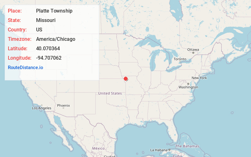
Full AddressPlatte Township, MO
-
Coordinates40.070364, -94.7070616
-
LocationPlatte Township , Missouri , US
-
TimezoneAmerica/Chicago
-
Current Local Time8:59:33 AM America/ChicagoSaturday, June 28, 2025
-
Page Views0
About Platte Township
Platte Township is a township in Andrew County, Missouri, United States. At the 2020 census, its population was 403.
Platte Township was established in 1846, and named after the Platte River.
Nearby Places
Found 10 places within 50 miles

Whitesville
0.9 mi
1.4 km
Whitesville, MO 64480
Get directions
Rea
3.1 mi
5.0 km
Rea, MO
Get directions
Cawood
3.7 mi
6.0 km
Cawood, Platte Township, MO 64427
Get directions
Empire Prairie
3.7 mi
6.0 km
Empire Prairie, Platte Township, MO 64480
Get directions
Flag Springs
3.8 mi
6.1 km
Flag Springs, Empire Township, MO 64480
Get directions
Wyeth
5.9 mi
9.5 km
Wyeth, MO 64483
Get directions
Rosendale
6.5 mi
10.5 km
Rosendale, MO 64483
Get directions
Bolckow
6.8 mi
10.9 km
Bolckow, MO 64427
Get directions
Guilford
6.9 mi
11.1 km
Guilford, MO 64457
Get directions
Union Star
8.4 mi
13.5 km
Union Star, MO 64494
Get directions
Location Links
Local Weather
Weather Information
Coming soon!
Location Map
Static map view of Platte Township, Missouri
Browse Places by Distance
Places within specific distances from Platte Township
Short Distances
Long Distances
Click any distance to see all places within that range from Platte Township. Distances shown in miles (1 mile ≈ 1.61 kilometers).