Distance to Platter, Oklahoma

Calculating Your Route
Just a moment while we process your request...
Location Information
-
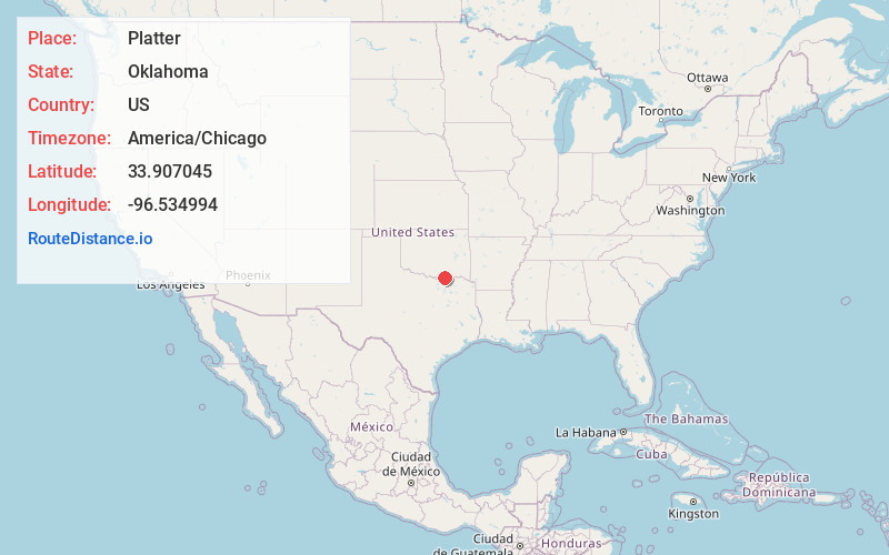
Full AddressPlatter, OK
-
Coordinates33.9070445, -96.5349935
-
LocationPlatter , Oklahoma , US
-
TimezoneAmerica/Chicago
-
Current Local Time5:34:51 AM America/ChicagoThursday, June 19, 2025
-
Page Views0
About Platter
Platter is an unincorporated community in Bryan County, Oklahoma, United States. Platter has a post office with the ZIP code 74753. The town was named after an A.F. Platter, who was a businessman from Denison, Texas.

Nearby Places
Found 10 places within 50 miles

Cartwright
4.0 mi
6.4 km
Cartwright, OK 74731
Get directions

Colbert
4.2 mi
6.8 km
Colbert, OK
Get directions

Preston
5.9 mi
9.5 km
Preston, TX 75076
Get directions

Calera
6.4 mi
10.3 km
Calera, OK 74730
Get directions

Mead
6.6 mi
10.6 km
Mead, OK 73449
Get directions

Durant
9.9 mi
15.9 km
Durant, OK
Get directions

Achille
9.9 mi
15.9 km
Achille, OK
Get directions
Silo
9.9 mi
15.9 km
Silo, OK 74701
Get directions

Denison
10.5 mi
16.9 km
Denison, TX
Get directions
Cumberland
11.5 mi
18.5 km
Cumberland, OK 73446
Get directions
Location Links
Local Weather
Weather Information
Coming soon!
Location Map
Static map view of Platter, Oklahoma
Browse Places by Distance
Places within specific distances from Platter
Short Distances
Long Distances
Click any distance to see all places within that range from Platter. Distances shown in miles (1 mile ≈ 1.61 kilometers).