Distance to Plattsburg, Ohio

Calculating Your Route
Just a moment while we process your request...
Location Information
-
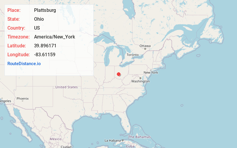
Full AddressPlattsburg, Harmony Township, OH 45368
-
Coordinates39.8961712, -83.61159
-
NeighborhoodPlattsburg
-
LocationHarmony Township , Ohio , US
-
TimezoneAmerica/New_York
-
Current Local Time11:41:14 PM America/New_YorkSaturday, May 31, 2025
-
Page Views0
About Plattsburg
Plattsburgh is an unincorporated community in central Harmony Township, Clark County, Ohio, United States. It is located along State Route 54 near the headwaters of the North Fork Little Miami River.
Plattsburgh is part of the Springfield, Ohio Metropolitan Statistical Area.
Nearby Places
Found 10 places within 50 miles

South Vienna
2.1 mi
3.4 km
South Vienna, OH 45369
Get directions

Clark County
3.5 mi
5.6 km
Clark County, OH
Get directions

Harmony
4.9 mi
7.9 km
Harmony, OH 45505
Get directions
South Charleston
5.0 mi
8.0 km
South Charleston, OH 45368
Get directions
Dolly Varden
5.7 mi
9.2 km
Dolly Varden, Madison Township, OH 45368
Get directions
Summerford
6.9 mi
11.1 km
Summerford, OH 43140
Get directions

Catawba
7.1 mi
11.4 km
Catawba, OH
Get directions

Choctaw Lake
8.0 mi
12.9 km
Choctaw Lake, OH 43140
Get directions

London
8.7 mi
14.0 km
London, OH 43140
Get directions
Cortsville
9.0 mi
14.5 km
Cortsville, Green Township, OH 45368
Get directions
Location Links
Local Weather
Weather Information
Coming soon!
Location Map
Static map view of Plattsburg, Ohio
Browse Places by Distance
Places within specific distances from Plattsburg
Short Distances
Long Distances
Click any distance to see all places within that range from Plattsburg. Distances shown in miles (1 mile ≈ 1.61 kilometers).