Distance to Pondosa, California

Calculating Your Route
Just a moment while we process your request...
Location Information
-
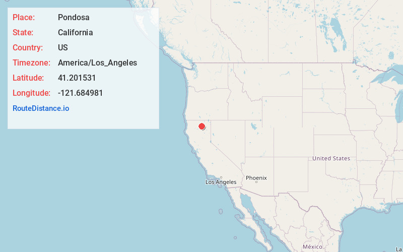
Full AddressPondosa, CA 96057
-
Coordinates41.2015312, -121.6849806
-
LocationPondosa , California , US
-
TimezoneAmerica/Los_Angeles
-
Current Local Time1:00:46 AM America/Los_AngelesThursday, June 5, 2025
-
Page Views0
About Pondosa
Pondosa is an unincorporated community in Siskiyou County, California, United States. Pondosa is 33.5 miles east-southeast of Mount Shasta, and is located along a former branch line of the McCloud Railway. A post office opened in Pondosa in 1925. The community was named after the ponderosa pine by Elmer E. Hall.

Nearby Places
Found 10 places within 50 miles

Cayton
10.0 mi
16.1 km
Cayton, CA 96013
Get directions

Day
16.2 mi
26.1 km
Day, CA 96056
Get directions

Big Bend
17.2 mi
27.7 km
Big Bend, CA 96011
Get directions

McArthur
18.2 mi
29.3 km
McArthur, CA
Get directions

Fall River Mills
18.7 mi
30.1 km
Fall River Mills, CA 96028
Get directions

Johnson Park
19.8 mi
31.9 km
Johnson Park, CA 96013
Get directions

Cassel
20.8 mi
33.5 km
Cassel, CA 96016
Get directions

Burney
22.1 mi
35.6 km
Burney, CA 96013
Get directions

McCloud
23.9 mi
38.5 km
McCloud, CA 96057
Get directions

Hat Creek
27.1 mi
43.6 km
Hat Creek, CA 96040
Get directions
Location Links
Local Weather
Weather Information
Coming soon!
Location Map
Static map view of Pondosa, California
Browse Places by Distance
Places within specific distances from Pondosa
Short Distances
Long Distances
Click any distance to see all places within that range from Pondosa. Distances shown in miles (1 mile ≈ 1.61 kilometers).