Distance to Pontotoc, Oklahoma

Calculating Your Route
Just a moment while we process your request...
Location Information
-
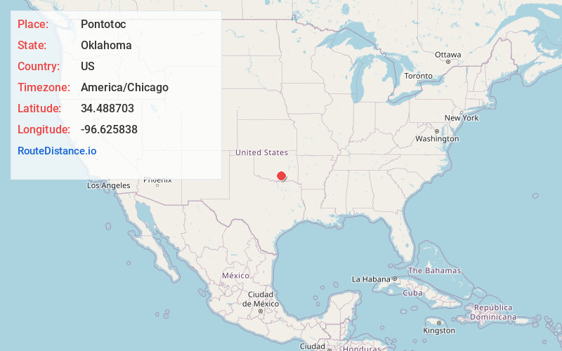
Full AddressPontotoc, OK
-
Coordinates34.4887028, -96.625838
-
LocationPontotoc , Oklahoma , US
-
TimezoneAmerica/Chicago
-
Current Local Time12:40:08 AM America/ChicagoThursday, June 19, 2025
-
Page Views0
About Pontotoc
Pontotoc is an unincorporated community and census-designated place in Johnston County, Oklahoma, United States. The population was 81 as of the 2020 Census. A post office was established in Pontotoc in 1858. The town was named after Pontotoc County, which was one of the divisions of the Chickasaw Nation.
Nearby Places
Found 10 places within 50 miles

Connerville
2.9 mi
4.7 km
Connerville, OK 74856
Get directions

Bromide
8.8 mi
14.2 km
Bromide, OK 74530
Get directions

Clarita
10.9 mi
17.5 km
Clarita, OK
Get directions
Stonewall
12.7 mi
20.4 km
Stonewall, OK 74871
Get directions

Mill Creek
12.8 mi
20.6 km
Mill Creek, OK 74856
Get directions

Wapanucka
13.9 mi
22.4 km
Wapanucka, OK 73461
Get directions
Tupelo
14.0 mi
22.5 km
Tupelo, OK 74572
Get directions

Hickory
14.2 mi
22.9 km
Hickory, OK 73086
Get directions

Fitzhugh
14.9 mi
24.0 km
Fitzhugh, OK
Get directions

Roff
15.5 mi
24.9 km
Roff, OK 74865
Get directions
Location Links
Local Weather
Weather Information
Coming soon!
Location Map
Static map view of Pontotoc, Oklahoma
Browse Places by Distance
Places within specific distances from Pontotoc
Short Distances
Long Distances
Click any distance to see all places within that range from Pontotoc. Distances shown in miles (1 mile ≈ 1.61 kilometers).