Distance to Punkin Center, Arizona

Calculating Your Route
Just a moment while we process your request...
Location Information
-
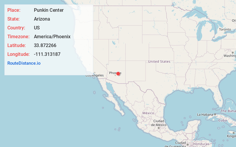
Full AddressPunkin Center, Tonto Basin, AZ 85553
-
Coordinates33.8722656, -111.313187
-
LocationTonto Basin , Arizona , US
-
TimezoneAmerica/Phoenix
-
Current Local Time7:18:38 PM America/PhoenixThursday, June 19, 2025
-
Page Views0
About Punkin Center
Punkin Center is an unincorporated community in Gila County, Arizona, United States. The community is located within the Tonto Basin at the confluence of Reno and Tonto creeks. Payson is 29 miles to the north along Arizona Route 188 and Arizona Route 87. Roosevelt Lake is eight miles to the south on Route 188.


Nearby Places
Found 10 places within 50 miles

Tonto Basin
1.5 mi
2.4 km
Tonto Basin, AZ 85553
Get directions

Walnut Creek
2.6 mi
4.2 km
Walnut Creek, Tonto Basin, AZ 85553
Get directions

Sunflower
8.9 mi
14.3 km
Sunflower, AZ 85263
Get directions

Jakes Corner
9.6 mi
15.4 km
Jakes Corner, AZ 85541
Get directions
Deer Creek
13.4 mi
21.6 km
Deer Creek, AZ 85541
Get directions

Gisela
16.0 mi
25.7 km
Gisela, AZ 85541
Get directions

Rye
16.5 mi
26.6 km
Rye, AZ 85541
Get directions

Roosevelt
17.5 mi
28.2 km
Roosevelt, AZ 85545
Get directions

Rio Verde
23.2 mi
37.3 km
Rio Verde, AZ 85263
Get directions

Tortilla Flat
24.3 mi
39.1 km
Tortilla Flat, AZ 85119
Get directions
Location Links
Local Weather
Weather Information
Coming soon!
Location Map
Static map view of Punkin Center, Arizona
Browse Places by Distance
Places within specific distances from Punkin Center
Short Distances
Long Distances
Click any distance to see all places within that range from Punkin Center. Distances shown in miles (1 mile ≈ 1.61 kilometers).