Distance to Redbone, Georgia

Calculating Your Route
Just a moment while we process your request...
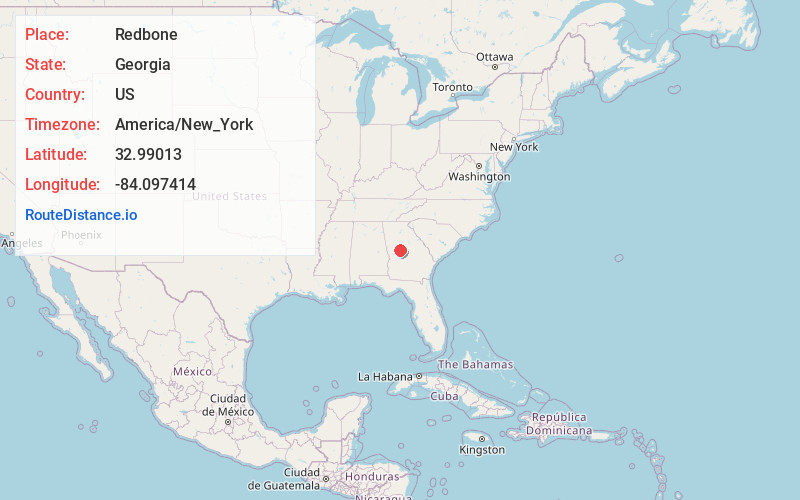
Location Information
-
Full AddressRedbone, GA 30204
-
Coordinates32.9901303, -84.0974137
-
LocationGeorgia , US
-
TimezoneAmerica/New_York
-
Current Local Time1:36:03 PM America/New_YorkWednesday, June 18, 2025
-
Page Views0
Nearby Places
Found 10 places within 50 miles

Brent
5.1 mi
8.2 km
Brent, GA 31029
Get directions

Barnesville
5.6 mi
9.0 km
Barnesville, GA 30204
Get directions

Yatesville
5.9 mi
9.5 km
Yatesville, GA 31097
Get directions
Goggins
5.9 mi
9.5 km
Goggins, GA 30204
Get directions
Collier
6.1 mi
9.8 km
Collier, GA 31029
Get directions
Aldora
6.2 mi
10.0 km
Aldora, GA 30204
Get directions
Johnstonville
7.0 mi
11.3 km
Johnstonville, GA 30204
Get directions

The Rock
8.5 mi
13.7 km
The Rock, GA 30285
Get directions
Russellville
8.6 mi
13.8 km
Russellville, GA 31029
Get directions

Culloden
8.8 mi
14.2 km
Culloden, GA 31016
Get directions
Location Links
Local Weather
Weather Information
Coming soon!
Location Map
Static map view of Redbone, Georgia
Browse Places by Distance
Places within specific distances from Redbone
Short Distances
Long Distances
Click any distance to see all places within that range from Redbone. Distances shown in miles (1 mile ≈ 1.61 kilometers).