Distance to Redwood Grove, California

Calculating Your Route
Just a moment while we process your request...
Location Information
-
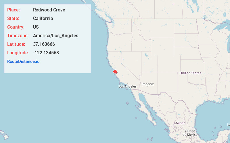
Full AddressRedwood Grove, CA 95006
-
Coordinates37.1636662, -122.1345682
-
LocationRedwood Grove , California , US
-
TimezoneAmerica/Los_Angeles
-
Current Local Time1:02:57 AM America/Los_AngelesMonday, June 2, 2025
-
Page Views0
About Redwood Grove
The Redwood Grove of Henry Cowell Redwoods State Park, which is located in Santa Cruz County in Northern California, is a grove of Coast Redwoods with trees extending into the 1400- to 1800-year-old range. This grove allows for the use of self-guided tours of the flat, 0.8-mile loop trail which is easily accessible.


Nearby Places
Found 10 places within 50 miles

Boulder Creek
2.7 mi
4.3 km
Boulder Creek, CA 95006
Get directions

Brookdale
4.3 mi
6.9 km
Brookdale, CA
Get directions

Ben Lomond
5.8 mi
9.3 km
Ben Lomond, CA
Get directions

Lompico
6.5 mi
10.5 km
Lompico, CA
Get directions

Zayante
7.0 mi
11.3 km
Zayante, CA
Get directions

Bonny Doon
7.7 mi
12.4 km
Bonny Doon, CA 95060
Get directions

Felton
8.5 mi
13.7 km
Felton, CA
Get directions
Swanton
8.5 mi
13.7 km
Swanton, CA 95017
Get directions
Mission Springs
8.8 mi
14.2 km
Mission Springs, CA 95066
Get directions

Mt Hermon
8.9 mi
14.3 km
Mt Hermon, CA
Get directions
Location Links
Local Weather
Weather Information
Coming soon!
Location Map
Static map view of Redwood Grove, California
Browse Places by Distance
Places within specific distances from Redwood Grove
Short Distances
Long Distances
Click any distance to see all places within that range from Redwood Grove. Distances shown in miles (1 mile ≈ 1.61 kilometers).