Distance to Rogerville, California

Calculating Your Route
Just a moment while we process your request...
Location Information
-
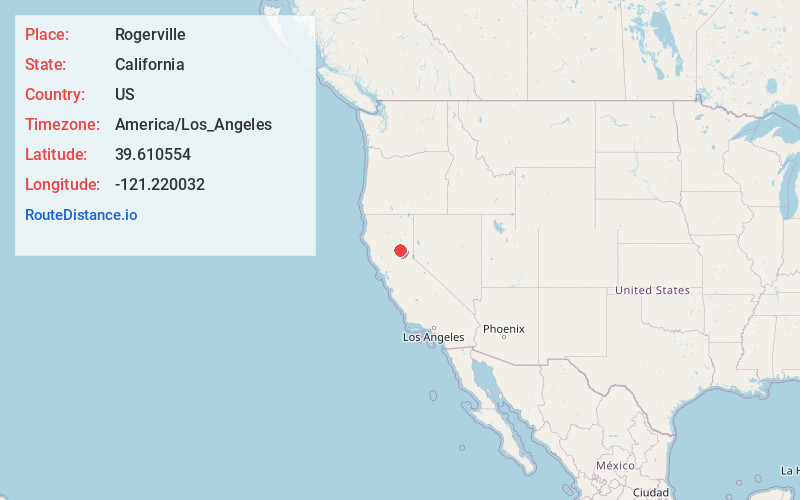
Full AddressRogerville, CA
-
Coordinates39.610554, -121.220032
-
LocationRogerville , California , US
-
TimezoneAmerica/Los_Angeles
-
Current Local Time11:35:41 PM America/Los_AngelesTuesday, June 24, 2025
-
Page Views0
Nearby Places
Found 10 places within 50 miles

Lumpkin
0.6 mi
1.0 km
Lumpkin, CA 95966
Get directions

Clipper Mills
6.2 mi
10.0 km
Clipper Mills, CA 95930
Get directions

Forbestown
6.9 mi
11.1 km
Forbestown, CA
Get directions

Berry Creek
8.7 mi
14.0 km
Berry Creek, CA
Get directions
Robinson Mill
10.3 mi
16.6 km
Robinson Mill, CA
Get directions

Challenge-Brownsville
11.1 mi
17.9 km
Challenge-Brownsville, CA
Get directions

La Porte
13.5 mi
21.7 km
La Porte, CA 95981
Get directions
Rackerby
13.8 mi
22.2 km
Rackerby, CA 95914
Get directions

Camptonville
14.3 mi
23.0 km
Camptonville, CA 95922
Get directions
Kelly Ridge
14.5 mi
23.3 km
Kelly Ridge, CA 95966
Get directions
Location Links
Local Weather
Weather Information
Coming soon!
Location Map
Static map view of Rogerville, California
Browse Places by Distance
Places within specific distances from Rogerville
Short Distances
Long Distances
Click any distance to see all places within that range from Rogerville. Distances shown in miles (1 mile ≈ 1.61 kilometers).