Distance to and from Salemfork, North Carolina
Salemfork, NC 28621
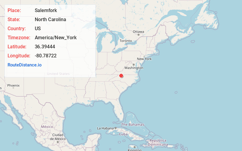
Salemfork
North Carolina
US
America/New_York
Location Information
-
Full AddressSalemfork, NC 28621
-
Coordinates36.39444, -80.78722
-
NeighborhoodSalemfork
-
LocationSalemfork , North Carolina , US
-
TimezoneAmerica/New_York
-
Current Local Time2:42:42 PM America/New_YorkSaturday, May 3, 2025
-
Page Views0
Directions to Nearest Cities
About Salemfork
Salem Fork is an unincorporated community in central Surry County, North Carolina, United States. The community is centered on the junction of Zephyr Road and Interstate 77. Prominent landmarks in the community include Salem Fork Baptist Church and Salem Fork Church of Christ.
Nearby Places
Found 10 places within 50 miles

Zephyr
2.4 mi
3.9 km
Zephyr, NC 28676
Get directions

Dobson
3.6 mi
5.8 km
Dobson, NC
Get directions
Mountain Park
4.0 mi
6.4 km
Mountain Park, NC 28676
Get directions

Beulah
5.6 mi
9.0 km
Beulah, NC 27024
Get directions
Union Hill
5.7 mi
9.2 km
Union Hill, NC 27017
Get directions
Poplar Springs
6.3 mi
10.1 km
Poplar Springs, NC 28621
Get directions
State Rd
6.5 mi
10.5 km
State Rd, NC 28676
Get directions
Ladonia
6.7 mi
10.8 km
Ladonia, NC 27024
Get directions
Turkey Ford
6.9 mi
11.1 km
Turkey Ford, NC 27030
Get directions
Little Richmond
7.1 mi
11.4 km
Little Richmond, NC 28621
Get directions
Zephyr
2.4 mi
3.9 km
Zephyr, NC 28676
Dobson
3.6 mi
5.8 km
Dobson, NC
Mountain Park
4.0 mi
6.4 km
Mountain Park, NC 28676
Beulah
5.6 mi
9.0 km
Beulah, NC 27024
Union Hill
5.7 mi
9.2 km
Union Hill, NC 27017
Poplar Springs
6.3 mi
10.1 km
Poplar Springs, NC 28621
State Rd
6.5 mi
10.5 km
State Rd, NC 28676
Ladonia
6.7 mi
10.8 km
Ladonia, NC 27024
Turkey Ford
6.9 mi
11.1 km
Turkey Ford, NC 27030
Little Richmond
7.1 mi
11.4 km
Little Richmond, NC 28621
Location Links
Local Weather
Weather Information
Coming soon!
Location Map
Static map view of Salemfork, North Carolina
Browse Places by Distance
Places within specific distances from Salemfork
Short Distances
Long Distances
Click any distance to see all places within that range from Salemfork. Distances shown in miles (1 mile ≈ 1.61 kilometers).