Distance to Selma, Ohio

Calculating Your Route
Just a moment while we process your request...
Location Information
-
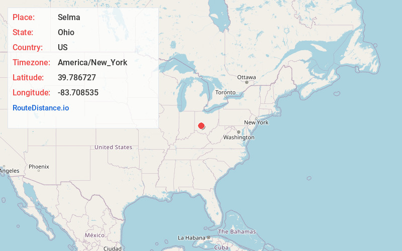
Full AddressSelma, OH 45368
-
Coordinates39.7867267, -83.7085348
-
LocationSelma , Ohio , US
-
TimezoneAmerica/New_York
-
Current Local Time5:49:59 PM America/New_YorkFriday, June 6, 2025
-
Page Views0
About Selma
Selma is an unincorporated community in Madison Township, Clark County, Ohio, USA.
Nearby Places
Found 10 places within 50 miles

Gladstone
3.2 mi
5.1 km
Gladstone, Ross Township, OH 45368
Get directions

South Charleston
4.8 mi
7.7 km
South Charleston, OH 45368
Get directions

Cedarville
6.1 mi
9.8 km
Cedarville, OH 45314
Get directions
South Solon
6.1 mi
9.8 km
South Solon, OH 43153
Get directions
Clifton
6.2 mi
10.0 km
Clifton, OH
Get directions
Jamestown
9.0 mi
14.5 km
Jamestown, OH 45335
Get directions
Harmony
9.4 mi
15.1 km
Harmony, OH 45505
Get directions

Yellow Springs
9.6 mi
15.4 km
Yellow Springs, OH 45387
Get directions
Beatty
9.6 mi
15.4 km
Beatty, Springfield Township, OH 45506
Get directions

Wilberforce
10.2 mi
16.4 km
Wilberforce, OH
Get directions
Location Links
Local Weather
Weather Information
Coming soon!
Location Map
Static map view of Selma, Ohio
Browse Places by Distance
Places within specific distances from Selma
Short Distances
Long Distances
Click any distance to see all places within that range from Selma. Distances shown in miles (1 mile ≈ 1.61 kilometers).