Distance to Shady Grove, Iowa

Calculating Your Route
Just a moment while we process your request...
Location Information
-
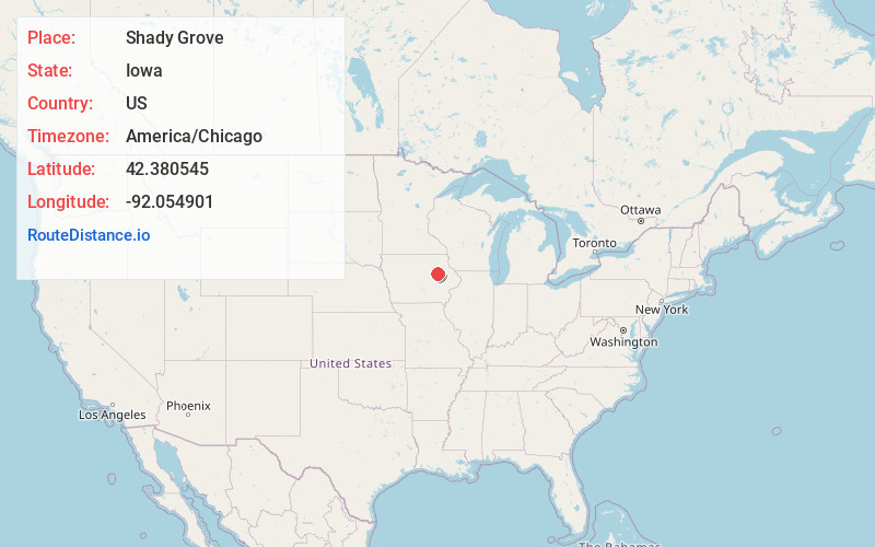
Full AddressShady Grove, IA 50648
-
Coordinates42.3805453, -92.0549008
-
LocationShady Grove , Iowa , US
-
TimezoneAmerica/Chicago
-
Current Local Time4:51:43 AM America/ChicagoFriday, June 6, 2025
-
Page Views0
About Shady Grove
Shady Grove is a former townsite and unincorporated community in Buchanan County, Iowa, United States, between the cities of Brandon and Jesup. Settlement of Shady Grove began in 1857, but with the advent of rural migration, the population had dropped to 25 by the 1950s.
Nearby Places
Found 10 places within 50 miles

Brandon
5.3 mi
8.5 km
Brandon, IA 52210
Get directions

Jesup
6.6 mi
10.6 km
Jesup, IA 50648
Get directions

La Porte City
8.3 mi
13.4 km
La Porte City, IA 50651
Get directions
Gilbertville
8.5 mi
13.7 km
Gilbertville, IA
Get directions
Mt Auburn
8.8 mi
14.2 km
Mt Auburn, IA 52313
Get directions
Raymond
10.4 mi
16.7 km
Raymond, IA
Get directions

Independence
10.4 mi
16.7 km
Independence, IA 50644
Get directions
Rowley
10.8 mi
17.4 km
Rowley, IA 52329
Get directions
Washburn
11.1 mi
17.9 km
Washburn, IA
Get directions

Elk Run Heights
11.9 mi
19.2 km
Elk Run Heights, IA
Get directions
Location Links
Local Weather
Weather Information
Coming soon!
Location Map
Static map view of Shady Grove, Iowa
Browse Places by Distance
Places within specific distances from Shady Grove
Short Distances
Long Distances
Click any distance to see all places within that range from Shady Grove. Distances shown in miles (1 mile ≈ 1.61 kilometers).