Distance to Shephard, Minnesota

Calculating Your Route
Just a moment while we process your request...
Location Information
-
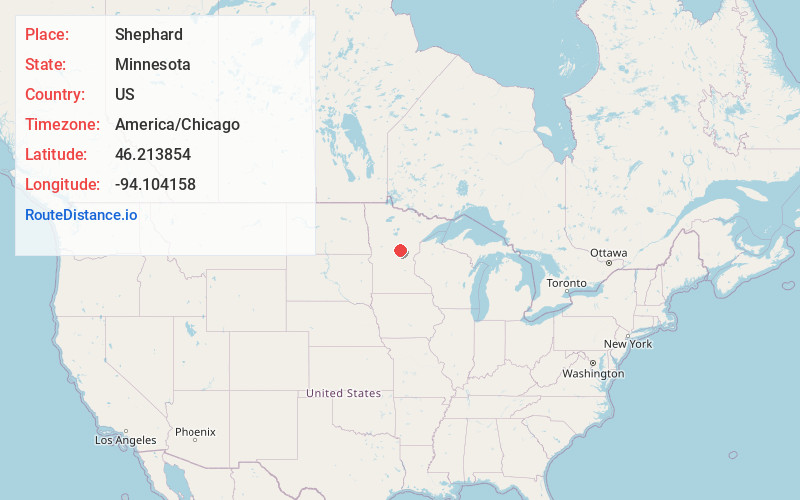
Full AddressShephard, MN 56401
-
Coordinates46.2138536, -94.1041582
-
LocationShephard , Minnesota , US
-
TimezoneAmerica/Chicago
-
Current Local Time1:55:56 PM America/ChicagoWednesday, May 28, 2025
-
Page Views0
About Shephard
Shephard is an unincorporated community in south central Crow Wing County, Minnesota, United States. It is located approximately ten miles south-southeast of Brainerd along State Highway 25 at the junction with Crow Wing County Road 2.
Nearby Places
Found 10 places within 50 miles

St Mathias
7.1 mi
11.4 km
St Mathias, MN 56449
Get directions
Harding
7.4 mi
11.9 km
Harding, MN 56364
Get directions
Platte
7.6 mi
12.2 km
Platte, MN 56364
Get directions
Barrows
9.4 mi
15.1 km
Barrows, MN 56401
Get directions

Brainerd
10.7 mi
17.2 km
Brainerd, MN 56401
Get directions
Lennox
11.6 mi
18.7 km
Lennox, MN 56401
Get directions
Freedhem
12.0 mi
19.3 km
Freedhem, MN 56345
Get directions

Baxter
12.2 mi
19.6 km
Baxter, MN
Get directions
Lastrup
12.2 mi
19.6 km
Lastrup, MN
Get directions
Fort Ripley
12.7 mi
20.4 km
Fort Ripley, MN 56449
Get directions
Location Links
Local Weather
Weather Information
Coming soon!
Location Map
Static map view of Shephard, Minnesota
Browse Places by Distance
Places within specific distances from Shephard
Short Distances
Long Distances
Click any distance to see all places within that range from Shephard. Distances shown in miles (1 mile ≈ 1.61 kilometers).