Distance to Shook, Missouri

Calculating Your Route
Just a moment while we process your request...
Location Information
-
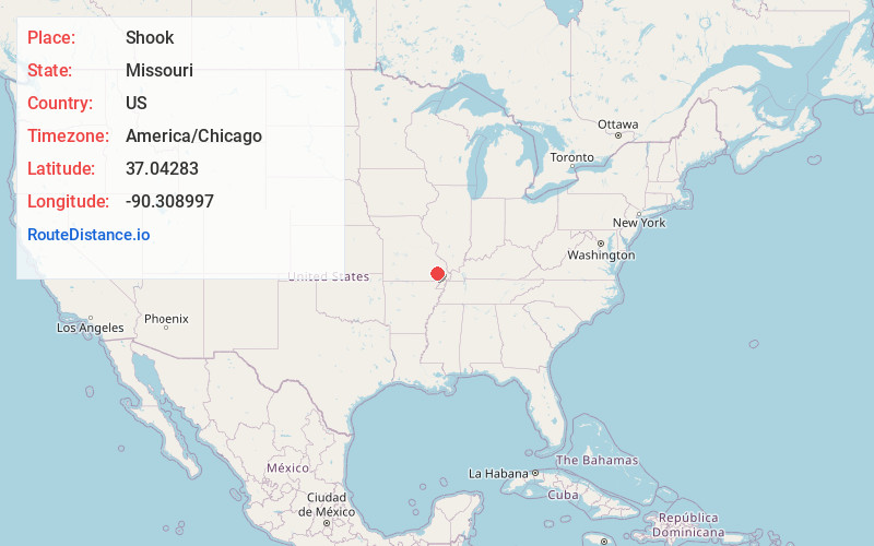
Full AddressShook, MO 63951
-
Coordinates37.04283, -90.3089969
-
LocationShook , Missouri , US
-
TimezoneAmerica/Chicago
-
Current Local Time9:02:18 AM America/ChicagoWednesday, May 28, 2025
-
Page Views0
About Shook
Shook is an unincorporated community in Wayne County, Missouri, United States. The community is located on the West Fork Lost Creek arm of Lake Wappapello along Missouri Route D, approximately sixteen miles north of Poplar Bluff.
The Shook post office was in operation from 1904 to 1999.
Nearby Places
Found 10 places within 50 miles

Holliday Landing
6.3 mi
10.1 km
Holliday Landing, Black River Township, MO 63944
Get directions
McGee
6.6 mi
10.6 km
McGee, MO 63951
Get directions

Wappapello
7.7 mi
12.4 km
Wappapello, MO
Get directions
Lowndes
7.7 mi
12.4 km
Lowndes, MO 63951
Get directions
Burbank
8.0 mi
12.9 km
Burbank, St Francois Township, MO 63964
Get directions
Hiram
9.4 mi
15.1 km
Hiram, MO 63951
Get directions

Greenville
9.7 mi
15.6 km
Greenville, MO 63944
Get directions
Gipsy
10.1 mi
16.3 km
Gipsy, MO 63750
Get directions

Puxico
10.5 mi
16.9 km
Puxico, MO 63960
Get directions
Hickman
11.2 mi
18.0 km
Hickman, Duck Creek Township, MO 63960
Get directions
Location Links
Local Weather
Weather Information
Coming soon!
Location Map
Static map view of Shook, Missouri
Browse Places by Distance
Places within specific distances from Shook
Short Distances
Long Distances
Click any distance to see all places within that range from Shook. Distances shown in miles (1 mile ≈ 1.61 kilometers).