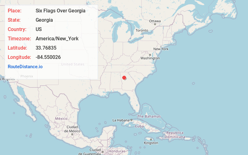
Distance to Six Flags Over Georgia, Georgia

Calculating Your Route
Just a moment while we process your request...
Location Information
-
Full AddressSix Flags Over Georgia, 275 Riverside Pkwy, Austell, GA 30168
-
Coordinates33.7683499, -84.5500261
-
Street275 Riverside Pkwy
-
LocationAustell , Georgia , US
-
TimezoneAmerica/New_York
-
Current Local Time8:52:33 AM America/New_YorkMonday, June 2, 2025
-
Page Views0
About Six Flags Over Georgia
Sprawling amusement park featuring high-speed roller coasters & water attractions, plus kids' rides.


Nearby Places
Found 10 places within 50 miles

Leland
3.1 mi
5.0 km
Leland, Mableton, GA 30126
Get directions

Mableton
3.9 mi
6.3 km
Mableton, GA
Get directions
Oakdale
4.6 mi
7.4 km
Oakdale, Smyrna, GA 30126
Get directions

Austell
5.7 mi
9.2 km
Austell, GA
Get directions
Gilmore
6.4 mi
10.3 km
Gilmore, GA 30080
Get directions

Lithia Springs
6.6 mi
10.6 km
Lithia Springs, GA
Get directions
Wesley Station
7.9 mi
12.7 km
Wesley Station, GA 30106
Get directions

Smyrna
8.2 mi
13.2 km
Smyrna, GA
Get directions

Vinings
8.3 mi
13.4 km
Vinings, GA
Get directions

East Point
8.8 mi
14.2 km
East Point, GA
Get directions
Location Links
Local Weather
Weather Information
Coming soon!
Location Map
Static map view of Six Flags Over Georgia, Georgia
Browse Places by Distance
Places within specific distances from Six Flags Over Georgia
Short Distances
Long Distances
Click any distance to see all places within that range from Six Flags Over Georgia. Distances shown in miles (1 mile ≈ 1.61 kilometers).