Distance to Spencerville, Oklahoma

Calculating Your Route
Just a moment while we process your request...
Location Information
-
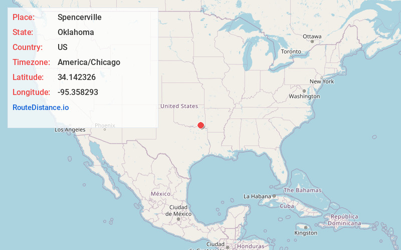
Full AddressSpencerville, OK 74743
-
Coordinates34.1423258, -95.3582929
-
LocationSpencerville , Oklahoma , US
-
TimezoneAmerica/Chicago
-
Current Local Time9:17:49 PM America/ChicagoMonday, May 19, 2025
-
Page Views0
About Spencerville
Spencerville is an unincorporated community in northern Choctaw County, Oklahoma, United States. It is 12 miles northeast of Hugo, adjacent to the Pushmataha County border. The improved Ft. Smith to Ft.
Nearby Places
Found 10 places within 50 miles

Apple
3.4 mi
5.5 km
Apple, OK 74743
Get directions

Oleta
4.0 mi
6.4 km
Oleta, OK 74562
Get directions
Corinne
5.0 mi
8.0 km
Corinne, OK 74735
Get directions

Rattan
5.1 mi
8.2 km
Rattan, OK
Get directions
Sobol
6.9 mi
11.1 km
Sobol, OK 74735
Get directions
Messer
7.4 mi
11.9 km
Messer, OK 74743
Get directions

Sawyer
8.9 mi
14.3 km
Sawyer, OK
Get directions

Fort Towson
10.0 mi
16.1 km
Fort Towson, OK 74735
Get directions
Dela
10.2 mi
16.4 km
Dela, OK 74523
Get directions
Ethel
12.2 mi
19.6 km
Ethel, OK 74523
Get directions
Location Links
Local Weather
Weather Information
Coming soon!
Location Map
Static map view of Spencerville, Oklahoma
Browse Places by Distance
Places within specific distances from Spencerville
Short Distances
Long Distances
Click any distance to see all places within that range from Spencerville. Distances shown in miles (1 mile ≈ 1.61 kilometers).