Distance to Spice Valley Township, Indiana

Calculating Your Route
Just a moment while we process your request...
Location Information
-
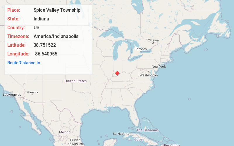
Full AddressSpice Valley Township, IN
-
Coordinates38.7515217, -86.6409554
-
LocationSpice Valley Township , Indiana , US
-
TimezoneAmerica/Indianapolis
-
Page Views0
About Spice Valley Township
Spice Valley Township is one of nine townships in Lawrence County, Indiana, United States. As of the 2010 census, its population was 2,423 and it contained 1,137 housing units.
Nearby Places
Found 10 places within 50 miles

Huron
2.6 mi
4.2 km
Huron, IN
Get directions
Moorestown
2.6 mi
4.2 km
Moorestown, IN 47446
Get directions
Williams
3.6 mi
5.8 km
Williams, IN 47470
Get directions
Bryantsville
3.8 mi
6.1 km
Bryantsville, IN 47446
Get directions
Mt Olive
4.3 mi
6.9 km
Mt Olive, Mitcheltree Township, IN 47581
Get directions
Georgia
4.7 mi
7.6 km
Georgia, IN 47452
Get directions

Willow Valley
5.8 mi
9.3 km
Willow Valley, IN 47446
Get directions
Hartleyville
6.5 mi
10.5 km
Hartleyville, IN 47421
Get directions
Scarlet
6.6 mi
10.6 km
Scarlet, IN 47469
Get directions
Cale
6.7 mi
10.8 km
Cale, IN 47581
Get directions
Location Links
Local Weather
Weather Information
Coming soon!
Location Map
Static map view of Spice Valley Township, Indiana
Browse Places by Distance
Places within specific distances from Spice Valley Township
Short Distances
Long Distances
Click any distance to see all places within that range from Spice Valley Township. Distances shown in miles (1 mile ≈ 1.61 kilometers).